Hacılar night lights from space
Night Light of Hacılar (Kayseri) from space (Turkey) Src. Average luminocity for 10x10km area is 54.3523% and for 50x50km: 22.1125%.
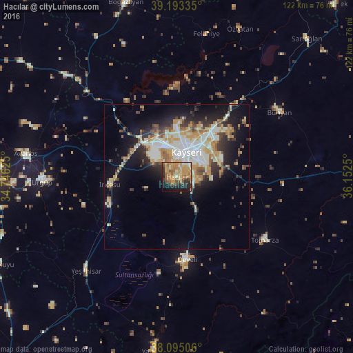
Analysis of Hacılar night lights 2016
Square area 10x10 km:
 2.27%
2.27%90-99
4.55%80-89
11.36%70-79
25.65%60-69
8.44%50-59
9.74%40-49
3.25%30-39
6.82%20-29
10.39%10-19
14.61%0-9
2.92%Square area 50x50 km:
3.61%90-99
4.86%80-89
2.65%70-79
4.88%60-69
2.16%50-59
2.21%40-49
1.88%30-39
2.71%20-29
4.93%10-19
9.53%0-9
60.58%Clear (daylight) street map image can be seen on geolist.org.
Map coordinates:
39° 11' 36.1" North, 34° 44' 46.5" East
38° 38' 46.7" North, 35° 26' 57.7" East
38° 5' 42.2" North, 36° 9' 9" East
Some cities around Hacılar sort by population:
• Kayseri
10 km =6.2 mi,  18°
18°
• Talas
10.3 km =6.4 mi,  61°
61°
• Develi
28.7 km =17.8 mi,  172°
172°
• Ürgüp
46.7 km =29 mi,  267°
267°
• Yeşilhisar
45.3 km =28.1 mi,  223°
223°
• Bünyan
42 km =26.1 mi, 58°
• Tomarza
37.6 km =23.4 mi,  126°
126°
• Felahiye
50.4 km =31.3 mi,  11°
11°
313013 (p: 21,167)
Sources (retrieved 2019-11-25):
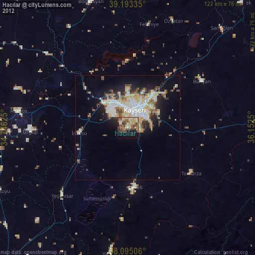
» Earth at Night: Flat Maps 2012, 2016