Viranşehir night lights from space
Night Light of Viranşehir (Şanlıurfa) from space (Turkey) Src. Average luminocity for 10x10km area is 36.2857% and for 50x50km: 3.6523%.
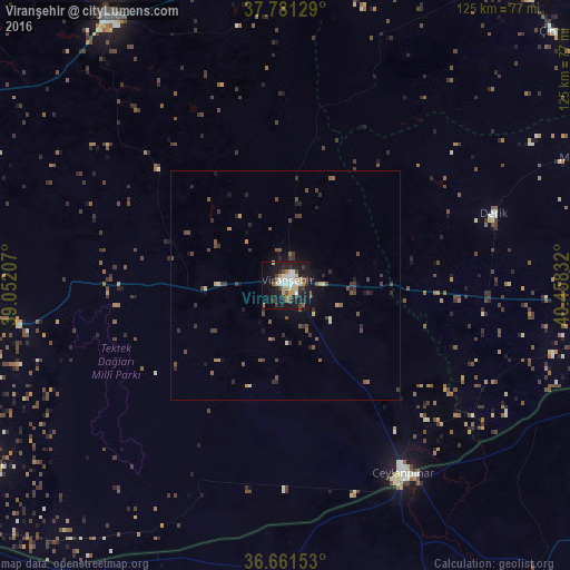
Analysis of Viranşehir night lights 2016
Square area 10x10 km:
 6.29%
6.29%90-99
7.14%80-89
4.93%70-79
3.06%60-69
4.08%50-59
3.4%40-49
4.25%30-39
5.27%20-29
9.01%10-19
36.39%0-9
16.16%Square area 50x50 km:
0.26%90-99
0.4%80-89
0.32%70-79
0.24%60-69
0.34%50-59
0.69%40-49
0.97%30-39
1.05%20-29
0.97%10-19
2.63%0-9
92.11%Clear (daylight) street map image can be seen on geolist.org.
Map coordinates:
37° 46' 52.6" North, 39° 3' 7.5" East
37° 13' 24.6" North, 39° 45' 18.7" East
36° 39' 41.5" North, 40° 27' 30" East
Some cities around Viranşehir sort by population:
• Şanlıurfa
85.4 km =53.1 mi,  265°
265°
• Siverek
70.6 km =43.9 mi,  326°
326°
• Kızıltepe
72.9 km =45.3 mi,  93°
93°
• Ceylanpınar
49.3 km =30.6 mi,  147°
147°
• Ad Darbāsīyah, SY
81.2 km =50.5 mi,  101°
101°
• Hilvan
81.4 km =50.6 mi,  299°
299°
• Harran
75.9 km =47.2 mi,  237°
237°
• Mazıdağı
70.2 km =43.6 mi,  66°
66°
298033 (p: 154,163)
Sources (retrieved 2019-11-25):
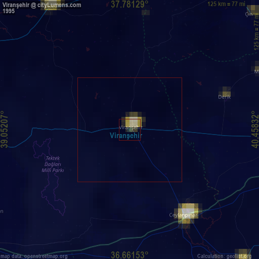
» NASA, Earths city lights 1995
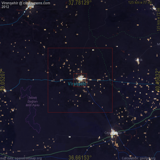
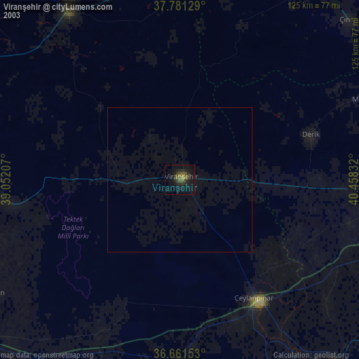
» NASA city lights 2003
» Earth at Night: Flat Maps 2012, 2016