Kızıltepe night lights from space
Night Light of Kızıltepe (Mardin) from space (Turkey) Src. Average luminocity for 10x10km area is 59.2177% and for 50x50km: 11.6621%.
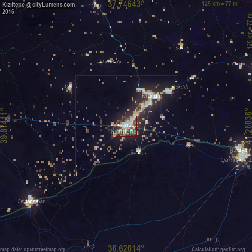
Analysis of Kızıltepe night lights 2016
Square area 10x10 km:
 11.05%
90-99
14.63%80-89
8.5%70-79
4.76%60-69
4.76%50-59
9.69%40-49
15.48%30-39
10.2%20-29
14.8%10-19
5.95%0-9
0.17%Square area 50x50 km:
1.2%90-99
2.04%80-89
1.47%70-79
0.78%60-69
1.27%50-59
1.41%40-49
1.98%30-39
2.09%20-29
4.49%10-19
8.42%0-9
74.84%Clear (daylight) street map image can be seen on geolist.org.
Map coordinates:
37° 44' 47.1" North, 39° 52' 26.8" East
37° 11' 18.1" North, 40° 34' 38" East
36° 37' 34.1" North, 41° 16' 49.3" East
Some cities around Kızıltepe sort by population:
• Mardin
20.2 km =12.6 mi,  46°
46°
• Yeşilli
27 km =16.8 mi, 51°
• Ad Darbāsīyah, SY
14.5 km =9 mi,  152°
152°
• Mazıdağı
33.3 km =20.7 mi,  345°
345°
• Kabala
26.4 km =16.4 mi, 48°
• Ömerli
40.8 km =25.4 mi, 54°
• Akarsu
42.2 km =26.2 mi,  84°
84°
• Ortaköy
18.7 km =11.6 mi, 78°
307084 (p: 150,174)
Sources (retrieved 2019-11-25):
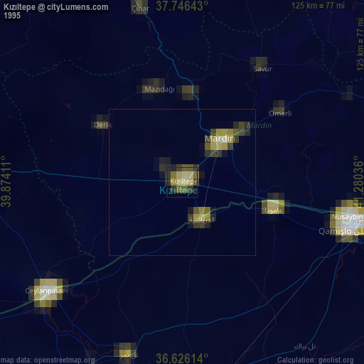
» NASA, Earths city lights 1995
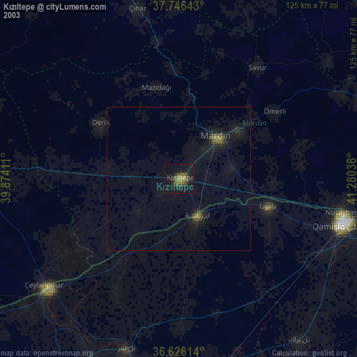
» NASA city lights 2003
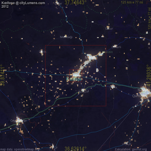
» Earth at Night: Flat Maps 2012, 2016