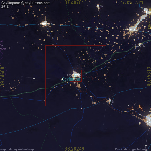
Ceylanpınar night lights from space
Night Light of Ceylanpınar (Şanlıurfa) from space (Turkey) Src. Average luminocity for 10x10km area is 27.9318% and for 50x50km: 2.8583%.
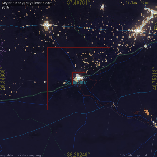
Analysis of Ceylanpınar night lights 2016
Square area 10x10 km:
 5.36%
5.36%90-99
6.17%80-89
5.03%70-79
1.62%60-69
0.49%50-59
2.76%40-49
3.73%30-39
1.95%20-29
1.62%10-19
33.77%0-9
37.5%Square area 50x50 km:
0.24%90-99
0.3%80-89
0.46%70-79
0.34%60-69
0.33%50-59
0.37%40-49
0.61%30-39
0.36%20-29
0.27%10-19
1.74%0-9
94.98%Clear (daylight) street map image can be seen on geolist.org.
Map coordinates:
37° 24' 28.1" North, 39° 20' 48.8" East
36° 50' 50" North, 40° 3' 0" East
36° 16' 57" North, 40° 45' 11.3" East
Some cities around Ceylanpınar sort by population:
• Viranşehir
49.3 km =30.6 mi,  327°
327°
• Kızıltepe
60.2 km =37.4 mi,  50°
50°
• Al Ḩasakah, SY
73.1 km =45.4 mi,  121°
121°
• Mardin
80.4 km =50 mi, 49°
• Ad Darbāsīyah, SY
59.1 km =36.7 mi,  64°
64°
• Mazıdağı
79.9 km =49.6 mi,  28°
28°
• Kabala
86.6 km =53.8 mi, 50°
• Ortaköy
77.3 km =48 mi, 57°
318668 (p: 31,488)
Sources (retrieved 2019-11-25):
» Earth at Night: Flat Maps 2012, 2016