Gediz night lights from space
Night Light of Gediz (Kütahya) from space (Turkey) Src. Average luminocity for 10x10km area is 21.3718% and for 50x50km: 3.2815%.
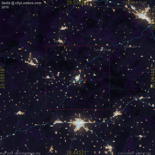
Analysis of Gediz night lights 2016
Square area 10x10 km:
100  0.81%
0.81%
90-99 6.66%
80-89 2.92%
70-79 1.14%
60-69 1.79%
50-59 1.95%
40-49 2.27%
30-39 2.11%
20-29 2.6%
10-19 25.97%
0-9 51.79%
0.81%90-99
6.66%80-89
2.92%70-79
1.14%60-69
1.79%50-59
1.95%40-49
2.27%30-39
2.11%20-29
2.6%10-19
25.97%0-9
51.79%Square area 50x50 km:
100 0.04%
90-99 0.52%
80-89 0.35%
70-79 0.25%
60-69 0.56%
50-59 0.37%
40-49 0.67%
30-39 1.15%
20-29 0.67%
10-19 1.41%
0-9 94%
0.04%90-99
0.52%80-89
0.35%70-79
0.25%60-69
0.56%50-59
0.37%40-49
0.67%30-39
1.15%20-29
0.67%10-19
1.41%0-9
94%Clear (daylight) street map image can be seen on geolist.org.
Map coordinates:
39° 32' 17.7" North, 28° 41' 17.5" East
38° 59' 38" North, 29° 23' 28.7" East
38° 26' 43.1" North, 30° 5' 40" East
Some cities around Gediz sort by population:
• Uşak
35.6 km =22.1 mi,  177°
177°
• Simav
37.2 km =23.1 mi,  286°
286°
• Emet
40.5 km =25.2 mi,  343°
343°
• Banaz
42.3 km =26.3 mi,  132°
132°
• Selendi
53.1 km =33 mi,  238°
238°
• Sivaslı
60.5 km =37.6 mi,  155°
155°
• Pazarlar
22.9 km =14.2 mi,  270°
270°
• Şaphane
15.1 km =9.4 mi,  284°
284°
314716 (p: 22,058)
Sources (retrieved 2019-11-25):
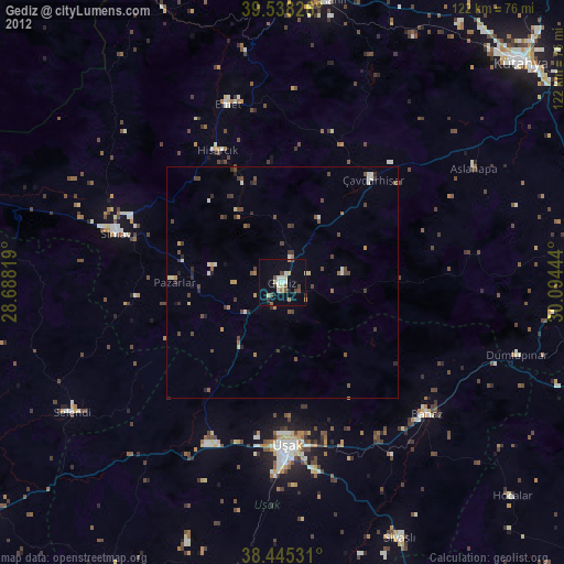
» Earth at Night: Flat Maps 2012, 2016