Turhal night lights from space
Night Light of Turhal (Tokat) from space (Turkey) Src. Average luminocity for 10x10km area is 40.5289% and for 50x50km: 5.225%.
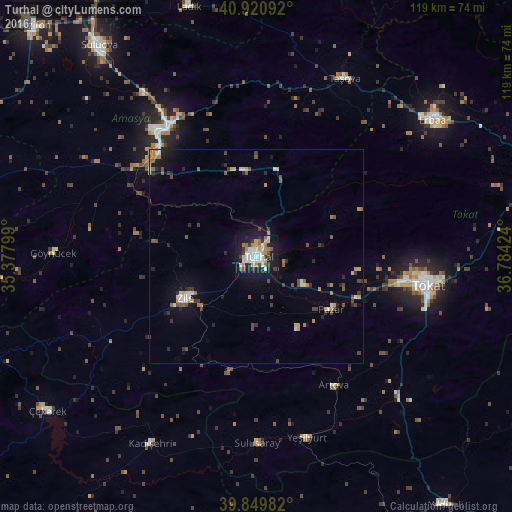
Analysis of Turhal night lights 2016
Square area 10x10 km:
 6.29%
6.29%90-99
10.54%80-89
3.4%70-79
5.78%60-69
5.27%50-59
4.42%40-49
2.21%30-39
4.93%20-29
8.33%10-19
40.48%0-9
8.33%Square area 50x50 km:
0.43%90-99
0.84%80-89
0.41%70-79
0.66%60-69
0.74%50-59
0.72%40-49
0.83%30-39
0.82%20-29
1.08%10-19
3.59%0-9
89.88%Clear (daylight) street map image can be seen on geolist.org.
Map coordinates:
40° 55' 15.3" North, 35° 22' 40.8" East
40° 23' 15" North, 36° 4' 52" East
39° 50' 59.4" North, 36° 47' 3.3" East
Some cities around Turhal sort by population:
• Tokat
40.9 km =25.4 mi,  101°
101°
• Amasya
36.2 km =22.5 mi,  324°
324°
• Zile
19 km =11.8 mi,  240°
240°
• Taşova
46.1 km =28.6 mi,  26°
26°
• Yeşilyurt
23.8 km =14.8 mi,  106°
106°
• Artova
35.5 km =22.1 mi,  148°
148°
• Kadışehri
50 km =31.1 mi,  209°
209°
• Pazar
21.1 km =13.1 mi,  125°
125°
738618 (p: 110,884)
Sources (retrieved 2019-11-25):
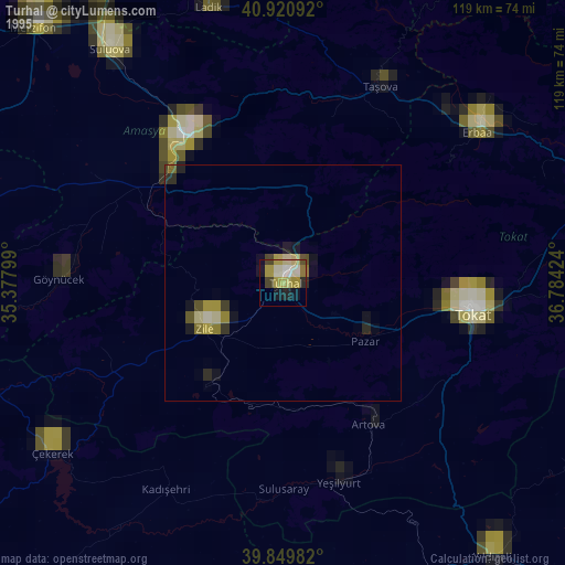
» NASA, Earths city lights 1995
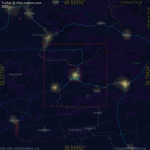
» NASA city lights 2003
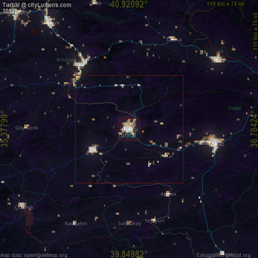
» Earth at Night: Flat Maps 2012, 2016