Amasya night lights from space
Night Light of Amasya from space (Turkey) Src. Average luminocity for 10x10km area is 42.4497% and for 50x50km: 6.3582%.
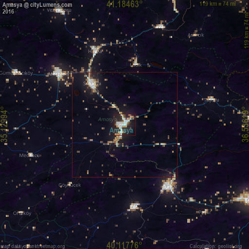
Analysis of Amasya night lights 2016
Square area 10x10 km:
 6.33%
6.33%90-99
12.01%80-89
3.9%70-79
5.03%60-69
4.55%50-59
2.27%40-49
6.01%30-39
5.03%20-29
19.97%10-19
26.46%0-9
8.44%Square area 50x50 km:
0.5%90-99
0.82%80-89
0.54%70-79
0.67%60-69
0.88%50-59
0.99%40-49
1.36%30-39
0.96%20-29
1.76%10-19
5.95%0-9
85.58%Clear (daylight) street map image can be seen on geolist.org.
Map coordinates:
41° 11' 4.7" North, 35° 7' 47.8" East
40° 39' 12" North, 35° 49' 59" East
40° 7' 3.9" North, 36° 32' 10.3" East
Some cities around Amasya sort by population:
• Turhal
36.2 km =22.5 mi,  144°
144°
• Zile
39.2 km =24.4 mi,  173°
173°
• Merzifon
39.6 km =24.6 mi,  308°
308°
• Suluova
25.2 km =15.7 mi,  321°
321°
• Havza
38.1 km =23.7 mi,  337°
337°
• Taşova
42.9 km =26.7 mi,  73°
73°
• Ladik
29 km =18 mi,  9°
9°
• Mecitözü
47.8 km =29.7 mi,  251°
251°
752015 (p: 82,896)
Sources (retrieved 2019-11-25):
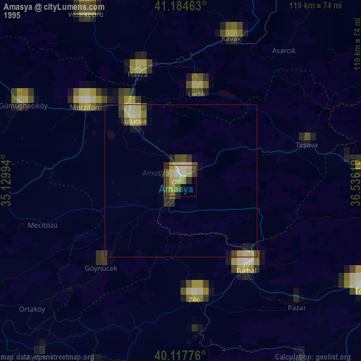
» NASA, Earths city lights 1995
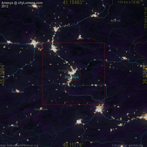
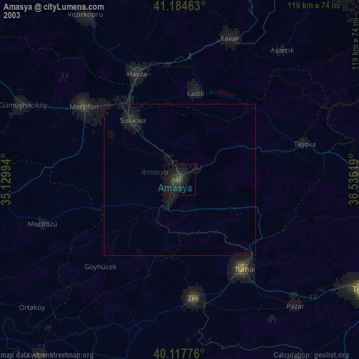
» NASA city lights 2003
» Earth at Night: Flat Maps 2012, 2016