Tokat night lights from space
Night Light of Tokat from space (Turkey) Src. Average luminocity for 10x10km area is 51.4218% and for 50x50km: 4.9156%.
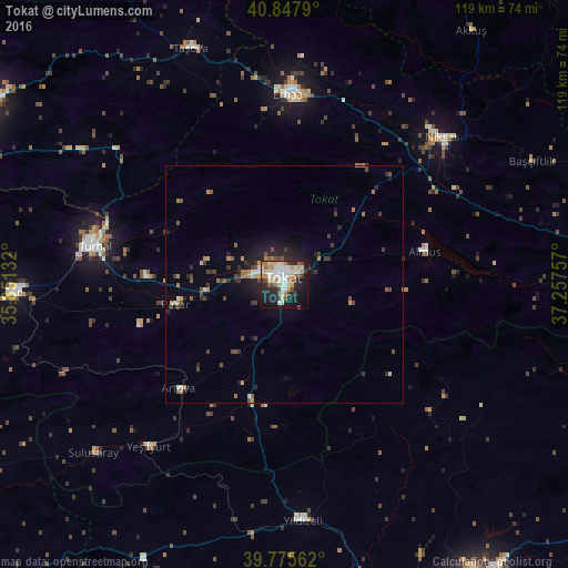
Analysis of Tokat night lights 2016
Square area 10x10 km:
 9.35%
9.35%90-99
15.99%80-89
5.78%70-79
8.5%60-69
4.42%50-59
3.74%40-49
4.42%30-39
3.4%20-29
14.46%10-19
24.49%0-9
5.44%Square area 50x50 km:
0.43%90-99
0.84%80-89
0.33%70-79
0.7%60-69
0.67%50-59
0.61%40-49
0.89%30-39
0.87%20-29
1.48%10-19
3.26%0-9
89.92%Clear (daylight) street map image can be seen on geolist.org.
Map coordinates:
40° 50' 52.4" North, 35° 51' 4.8" East
40° 18' 50" North, 36° 33' 16" East
39° 46' 32.2" North, 37° 15' 27.3" East
Some cities around Tokat sort by population:
• Turhal
40.9 km =25.4 mi,  281°
281°
• Erbaa
39.5 km =24.5 mi,  1°
1°
• Niksar
45.6 km =28.3 mi,  47°
47°
• Taşova
53.3 km =33.1 mi,  338°
338°
• Yeşilyurt
17.3 km =10.7 mi, 275°
• Almus
30.4 km =18.9 mi,  76°
76°
• Artova
30.8 km =19.1 mi,  224°
224°
• Pazar
23.4 km =14.5 mi,  259°
259°
738743 (p: 129,702)
Sources (retrieved 2019-11-25):
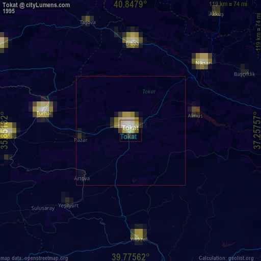
» NASA, Earths city lights 1995
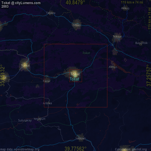
» NASA city lights 2003
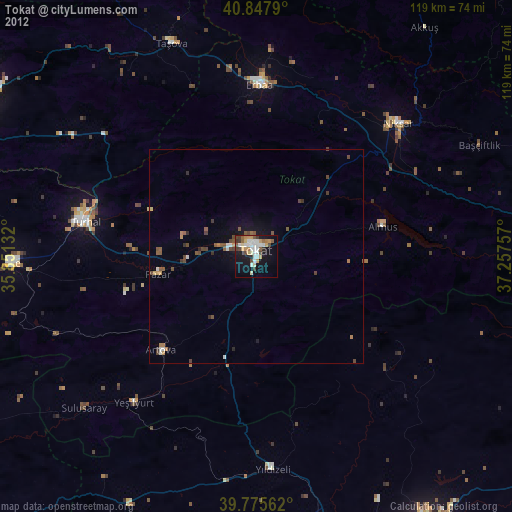
» Earth at Night: Flat Maps 2012, 2016