Zile night lights from space
Night Light of Zile (Tokat) from space (Turkey) Src. Average luminocity for 10x10km area is 20.551% and for 50x50km: 3.6589%.
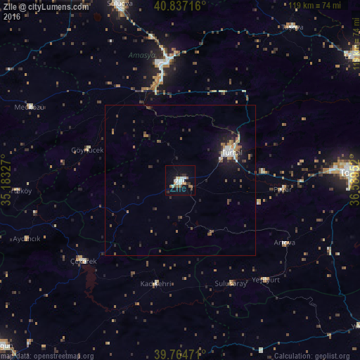
Analysis of Zile night lights 2016
Square area 10x10 km:
 3.57%
3.57%90-99
4.76%80-89
0.51%70-79
2.04%60-69
2.89%50-59
1.87%40-49
1.7%30-39
3.57%20-29
2.21%10-19
15.14%0-9
61.73%Square area 50x50 km:
0.38%90-99
0.59%80-89
0.15%70-79
0.36%60-69
0.51%50-59
0.46%40-49
0.67%30-39
0.7%20-29
0.91%10-19
3.01%0-9
92.25%Clear (daylight) street map image can be seen on geolist.org.
Map coordinates:
40° 50' 13.8" North, 35° 10' 59.8" East
40° 18' 11" North, 35° 53' 11" East
39° 45' 53" North, 36° 35' 22.3" East
Some cities around Zile sort by population:
• Turhal
19 km =11.8 mi,  60°
60°
• Amasya
39.2 km =24.4 mi,  353°
353°
• Çekerek
42 km =26.1 mi,  232°
232°
• Yeşilyurt
39.5 km =24.5 mi,  85°
85°
• Aydıncık
54.5 km =33.9 mi,  248°
248°
• Artova
40.8 km =25.4 mi,  120°
120°
• Kadışehri
35.1 km =21.8 mi,  193°
193°
• Pazar
33.8 km =21 mi,  95°
95°
737054 (p: 55,680)
Sources (retrieved 2019-11-25):
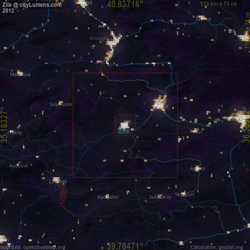
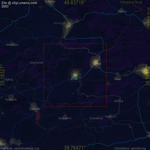
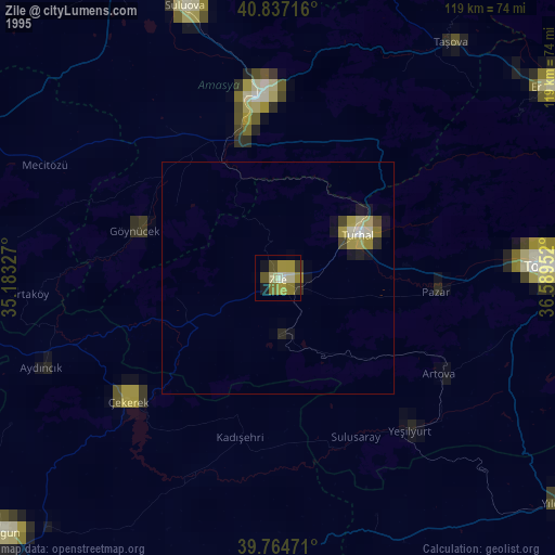
» NASA, Earths city lights 1995
» NASA city lights 2003
» Earth at Night: Flat Maps 2012, 2016