Rize night lights from space
Night Light of Rize from space (Turkey) Src. Average luminocity for 10x10km area is 44.5629% and for 50x50km: 7.5075%.
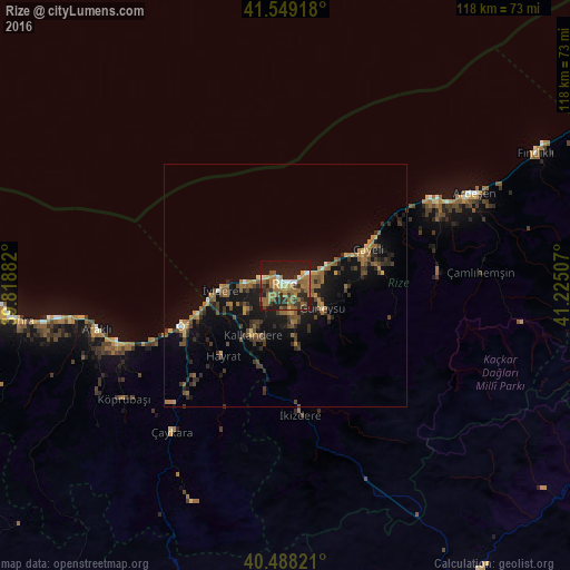
Analysis of Rize night lights 2016
Square area 10x10 km:
 3.4%
3.4%90-99
4.08%80-89
3.23%70-79
4.59%60-69
21.77%50-59
8.33%40-49
4.25%30-39
10.37%20-29
16.33%10-19
23.3%0-9
0.34%Square area 50x50 km:
0.2%90-99
0.31%80-89
0.56%70-79
0.77%60-69
2.48%50-59
1.22%40-49
1.43%30-39
1.75%20-29
2.28%10-19
7.37%0-9
81.64%Clear (daylight) street map image can be seen on geolist.org.
Map coordinates:
41° 32' 57" North, 39° 49' 7.8" East
41° 1' 15" North, 40° 31' 19" East
40° 29' 17.6" North, 41° 13' 30.3" East
Some cities around Rize sort by population:
• Of
23.8 km =14.8 mi,  247°
247°
• Çayeli
18.3 km =11.4 mi,  66°
66°
• Sürmene
35.5 km =22.1 mi, 248°
• Kalkandere
13.2 km =8.2 mi,  212°
212°
• Hayrat
20 km =12.4 mi,  221°
221°
• Dernekpazarı
34.1 km =21.2 mi, 223°
• Güneysu
8.2 km =5.1 mi,  122°
122°
• İyidere
13.5 km =8.4 mi,  265°
265°
740483 (p: 92,772)
Sources (retrieved 2019-11-25):
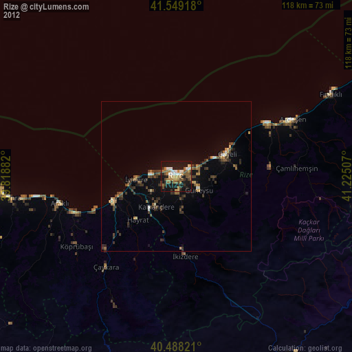
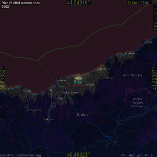
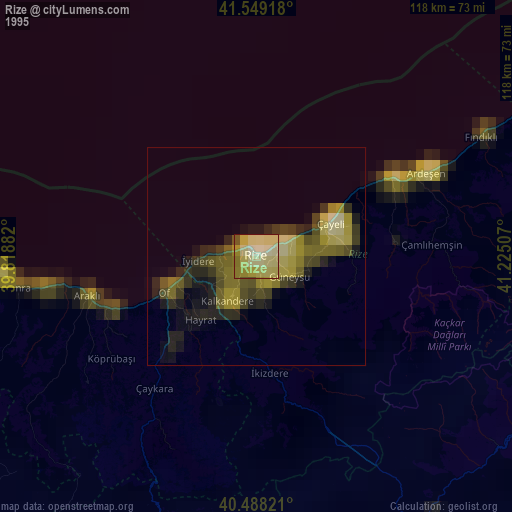
» NASA, Earths city lights 1995
» NASA city lights 2003
» Earth at Night: Flat Maps 2012, 2016