Çayeli night lights from space
Night Light of Çayeli (Rize) from space (Turkey) Src. Average luminocity for 10x10km area is 23.375% and for 50x50km: 7.1902%.
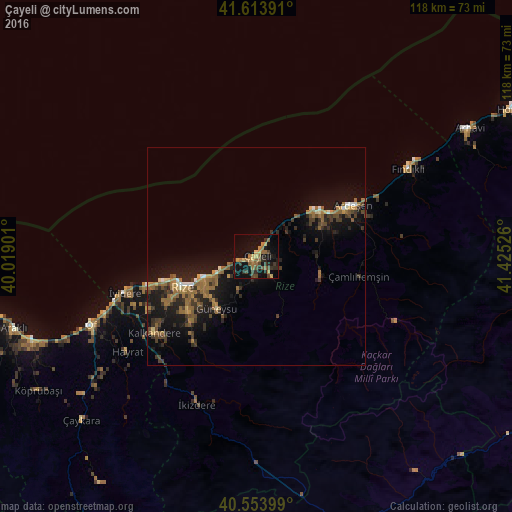
Analysis of Çayeli night lights 2016
Square area 10x10 km:
 0%
0%90-99
0%80-89
4.22%70-79
3.08%60-69
7.47%50-59
3.73%40-49
5.19%30-39
3.73%20-29
7.47%10-19
23.38%0-9
41.72%Square area 50x50 km:
0.25%90-99
0.34%80-89
0.55%70-79
0.75%60-69
2.24%50-59
1.18%40-49
1.36%30-39
1.72%20-29
2.15%10-19
7.39%0-9
82.07%Clear (daylight) street map image can be seen on geolist.org.
Map coordinates:
41° 36' 50.1" North, 40° 1' 8.4" East
41° 5' 9.9" North, 40° 43' 19.7" East
40° 33' 14.4" North, 41° 25' 30.9" East
Some cities around Çayeli sort by population:
• Rize
18.3 km =11.4 mi,  246°
246°
• Ardeşen
25.1 km =15.6 mi,  62°
62°
• Of
42.1 km =26.2 mi, 247°
• Kalkandere
30.2 km =18.8 mi,  232°
232°
• Hayrat
37.4 km =23.2 mi, 233°
• Dernekpazarı
51.4 km =31.9 mi, 231°
• Güneysu
15.3 km =9.5 mi,  220°
220°
• İyidere
31.3 km =19.4 mi, 254°
749502 (p: 24,556)
Sources (retrieved 2019-11-25):
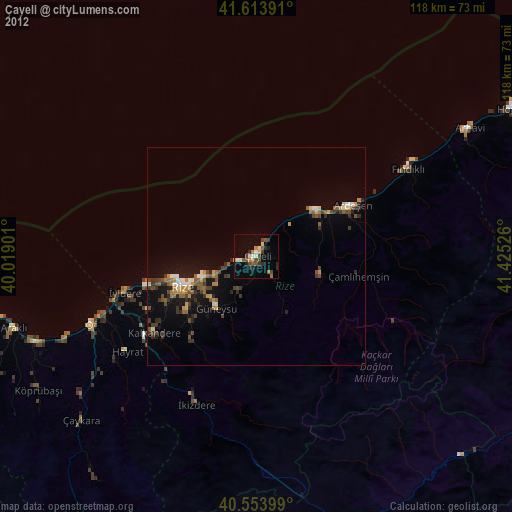
» Earth at Night: Flat Maps 2012, 2016