Dernekpazarı night lights from space
Night Light of Dernekpazarı (Trabzon) from space (Turkey) Src. Average luminocity for 10x10km area is 5.9388% and for 50x50km: 5.9662%.
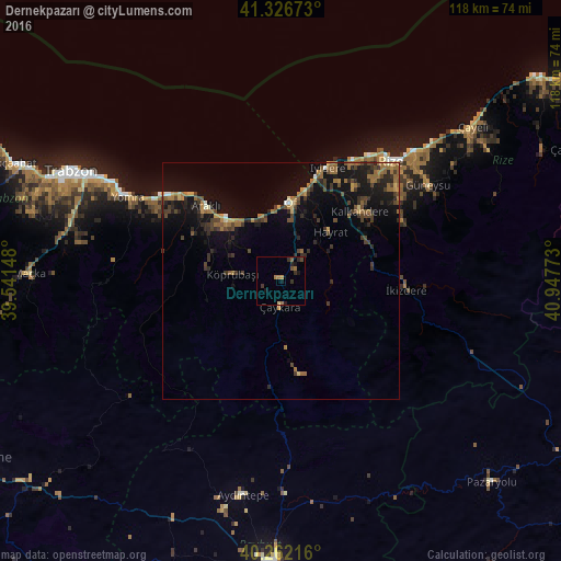
Analysis of Dernekpazarı night lights 2016
Square area 10x10 km:
 0%
0%90-99
0%80-89
0.34%70-79
0.68%60-69
2.38%50-59
1.19%40-49
0.85%30-39
2.38%20-29
1.87%10-19
2.72%0-9
87.59%Square area 50x50 km:
0.1%90-99
0.19%80-89
0.48%70-79
0.6%60-69
1.84%50-59
0.7%40-49
1.49%30-39
1.69%20-29
1.73%10-19
5.59%0-9
85.59%Clear (daylight) street map image can be seen on geolist.org.
Map coordinates:
41° 19' 36.2" North, 39° 32' 29.3" East
40° 47' 47.7" North, 40° 14' 40.6" East
40° 15' 43.8" North, 40° 56' 51.8" East
Some cities around Dernekpazarı sort by population:
• Of
16.1 km =10 mi,  4°
4°
• Araklı
22.2 km =13.8 mi,  315°
315°
• Sürmene
15.6 km =9.7 mi, 321°
• Çaykara
6.1 km =3.8 mi,  190°
190°
• Kalkandere
21.2 km =13.2 mi,  49°
49°
• Hayrat
14.1 km =8.8 mi, 45°
• Köprübaşı
11 km =6.8 mi,  275°
275°
• İyidere
25.9 km =16.1 mi,  22°
22°
748200 (p: 6,880)
Sources (retrieved 2019-11-25):
» Earth at Night: Flat Maps 2012, 2016