Kalkandere night lights from space
Night Light of Kalkandere (Rize) from space (Turkey) Src. Average luminocity for 10x10km area is 13.852% and for 50x50km: 7.6493%.
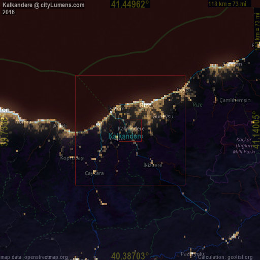
Analysis of Kalkandere night lights 2016
Square area 10x10 km:
 0%
0%90-99
0%80-89
1.02%70-79
0.34%60-69
1.36%50-59
2.04%40-49
7.82%30-39
6.12%20-29
1.7%10-19
16.33%0-9
63.27%Square area 50x50 km:
0.2%90-99
0.31%80-89
0.56%70-79
0.78%60-69
2.63%50-59
1.21%40-49
1.44%30-39
1.77%20-29
2.2%10-19
7.21%0-9
81.69%Clear (daylight) street map image can be seen on geolist.org.
Map coordinates:
41° 26' 58.6" North, 39° 44' 1.7" East
40° 55' 13.7" North, 40° 26' 12.9" East
40° 23' 13.3" North, 41° 8' 24.2" East
Some cities around Kalkandere sort by population:
• Rize
13.2 km =8.2 mi,  32°
32°
• Of
15.1 km =9.4 mi,  278°
278°
• Sürmene
26 km =16.2 mi,  266°
266°
• Çaykara
26.2 km =16.3 mi,  221°
221°
• Hayrat
7.2 km =4.5 mi,  237°
237°
• Dernekpazarı
21.2 km =13.2 mi,  229°
229°
• Güneysu
15.6 km =9.7 mi,  64°
64°
• İyidere
12 km =7.5 mi,  328°
328°
744767 (p: 9,115)
Sources (retrieved 2019-11-25):
» Earth at Night: Flat Maps 2012, 2016