İyidere night lights from space
Night Light of İyidere (Rize) from space (Turkey) Src. Average luminocity for 10x10km area is 20.1054% and for 50x50km: 7.5186%.
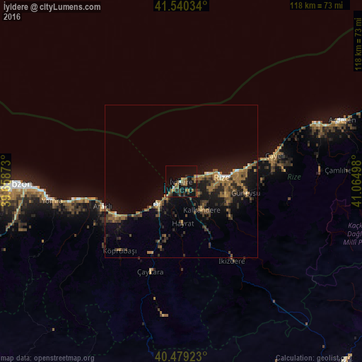
Analysis of İyidere night lights 2016
Square area 10x10 km:
 0.68%
0.68%90-99
0.68%80-89
0.51%70-79
2.04%60-69
9.35%50-59
3.4%40-49
3.91%30-39
2.72%20-29
3.23%10-19
26.19%0-9
47.28%Square area 50x50 km:
0.21%90-99
0.34%80-89
0.47%70-79
0.79%60-69
2.55%50-59
1.17%40-49
1.49%30-39
1.87%20-29
2.07%10-19
7.28%0-9
81.77%Clear (daylight) street map image can be seen on geolist.org.
Map coordinates:
41° 32' 25.2" North, 39° 39' 31.4" East
41° 0' 42.9" North, 40° 21' 42.7" East
40° 28' 45.2" North, 41° 3' 53.9" East
Some cities around İyidere sort by population:
• Rize
13.5 km =8.4 mi,  85°
85°
• Of
11.7 km =7.3 mi,  227°
227°
• Araklı
26.7 km =16.6 mi,  252°
252°
• Sürmene
22.9 km =14.2 mi,  239°
239°
• Kalkandere
12 km =7.5 mi,  148°
148°
• Hayrat
14.1 km =8.8 mi,  178°
178°
• Dernekpazarı
25.9 km =16.1 mi,  202°
202°
• Güneysu
20.7 km =12.9 mi,  99°
99°
745030 (p: 5,273)
Sources (retrieved 2019-11-25):
» Earth at Night: Flat Maps 2012, 2016