Sürmene night lights from space
Night Light of Sürmene (Trabzon) from space (Turkey) Src. Average luminocity for 10x10km area is 19.7874% and for 50x50km: 5.6205%.
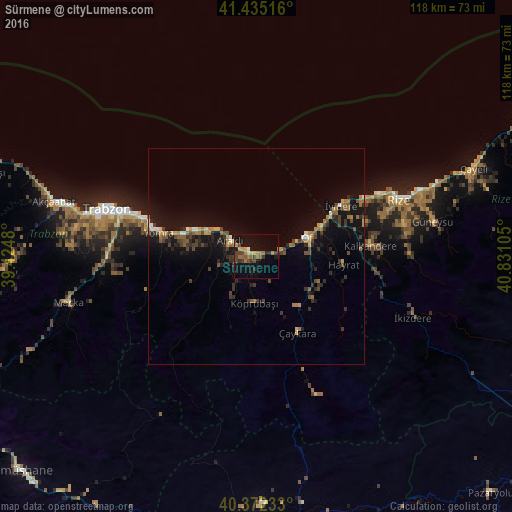
Analysis of Sürmene night lights 2016
Square area 10x10 km:
 0.34%
0.34%90-99
0.68%80-89
1.36%70-79
3.57%60-69
7.14%50-59
1.19%40-49
6.97%30-39
2.55%20-29
2.55%10-19
20.58%0-9
53.06%Square area 50x50 km:
0.18%90-99
0.34%80-89
0.4%70-79
0.63%60-69
1.34%50-59
0.71%40-49
1.22%30-39
1.27%20-29
1.49%10-19
5.72%0-9
86.7%Clear (daylight) street map image can be seen on geolist.org.
Map coordinates:
41° 26' 6.6" North, 39° 25' 29.3" East
40° 54' 21.2" North, 40° 7' 40.5" East
40° 22' 20.4" North, 40° 49' 51.8" East
Some cities around Sürmene sort by population:
• Of
11.7 km =7.3 mi,  70°
70°
• Araklı
6.9 km =4.3 mi,  301°
301°
• Arsin
17.7 km =11 mi,  287°
287°
• Çaykara
20.1 km =12.5 mi,  154°
154°
• Hayrat
20.1 km =12.5 mi,  96°
96°
• Dernekpazarı
15.6 km =9.7 mi,  141°
141°
• Köprübaşı
11.1 km =6.9 mi,  185°
185°
• İyidere
22.9 km =14.2 mi,  59°
59°
739215 (p: 20,039)
Sources (retrieved 2019-11-25):
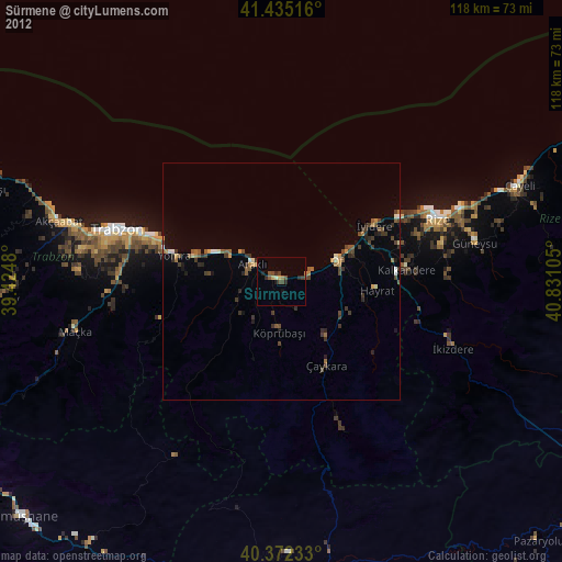
» Earth at Night: Flat Maps 2012, 2016