Kovancılar night lights from space
Night Light of Kovancılar (Elazığ) from space (Turkey) Src. Average luminocity for 10x10km area is 17.085% and for 50x50km: 2.2383%.
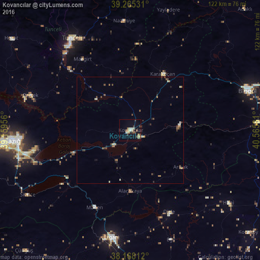
Analysis of Kovancılar night lights 2016
Square area 10x10 km:
 0.51%
0.51%90-99
2.21%80-89
3.74%70-79
3.06%60-69
0.51%50-59
2.72%40-49
2.55%30-39
4.42%20-29
1.19%10-19
5.27%0-9
73.81%Square area 50x50 km:
0.04%90-99
0.35%80-89
0.27%70-79
0.26%60-69
0.28%50-59
0.35%40-49
0.53%30-39
0.66%20-29
0.38%10-19
0.56%0-9
96.33%Clear (daylight) street map image can be seen on geolist.org.
Map coordinates:
39° 15' 55.1" North, 39° 9' 34.4" East
38° 43' 7.8" North, 39° 51' 45.6" East
38° 10' 5.2" North, 40° 33' 56.9" East
Some cities around Kovancılar sort by population:
• Elazığ
55.7 km =34.6 mi,  264°
264°
• Ergani
50.9 km =31.6 mi,  190°
190°
• Karakoçan
29.6 km =18.4 mi,  28°
28°
• Tunceli
50.5 km =31.4 mi,  326°
326°
• Dicle
43 km =26.7 mi,  155°
155°
• Palu
5.8 km =3.6 mi,  121°
121°
• Pertek
49.6 km =30.8 mi,  289°
289°
• Arıcak
28.6 km =17.8 mi,  127°
127°
306207 (p: 22,976)
Sources (retrieved 2019-11-25):
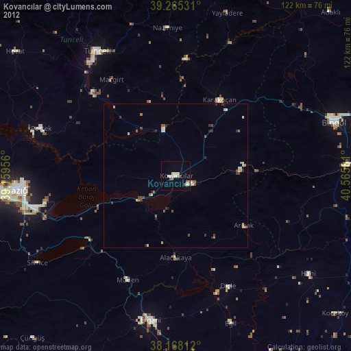
» Earth at Night: Flat Maps 2012, 2016