Gürpınar night lights from space
Night Light of Gürpınar (Istanbul) from space (Turkey) Src. Average luminocity for 10x10km area is 72.8605% and for 50x50km: 29.6328%.
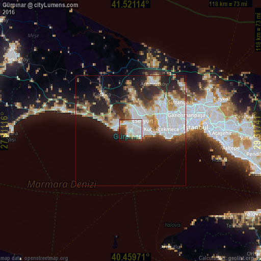
Analysis of Gürpınar night lights 2016
Square area 10x10 km:
 34.52%
90-99
19.73%80-89
4.42%70-79
3.74%60-69
4.25%50-59
2.89%40-49
3.4%30-39
8.16%20-29
12.59%10-19
5.95%0-9
0.34%Square area 50x50 km:
9.64%90-99
5.8%80-89
2.12%70-79
2.77%60-69
3.79%50-59
3.94%40-49
2.2%30-39
3.33%20-29
7.63%10-19
10.18%0-9
48.6%Clear (daylight) street map image can be seen on geolist.org.
Map coordinates:
41° 31' 16.1" North, 27° 54' 40.2" East
40° 59' 33.2" North, 28° 36' 51.4" East
40° 27' 35" North, 29° 19' 2.7" East
Some cities around Gürpınar sort by population:
• Esenyurt
6.5 km =4 mi,  54°
54°
• Büyükçekmece
4 km =2.5 mi,  321°
321°
• Beylikdüzü
2.5 km =1.6 mi,  118°
118°
• Mimarsinan
5.2 km =3.2 mi,  302°
302°
• Yakuplu
5.2 km =3.2 mi,  94°
94°
• Tepecik
6.8 km =4.2 mi,  307°
307°
• Kumburgaz
11.7 km =7.3 mi,  285°
285°
• Celâliye
17.7 km =11 mi, 291°
746234 (p: 29,411)
Sources (retrieved 2019-11-25):
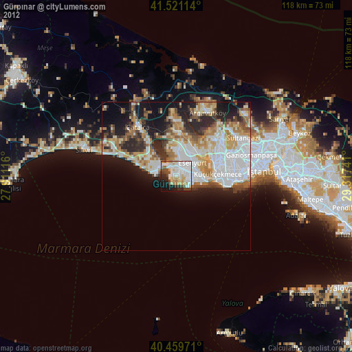
» Earth at Night: Flat Maps 2012, 2016