Yakuplu night lights from space
Night Light of Yakuplu (Istanbul) from space (Turkey) Src. Average luminocity for 10x10km area is 81.0935% and for 50x50km: 32.1252%.
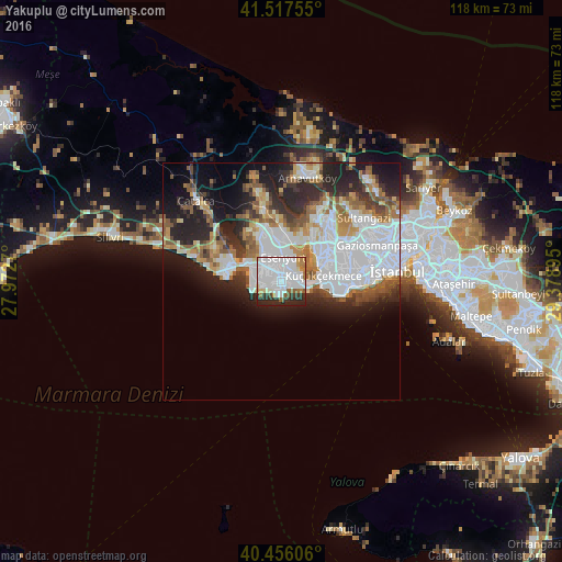
Analysis of Yakuplu night lights 2016
Square area 10x10 km:
 42.69%
90-99
22.45%80-89
2.55%70-79
3.57%60-69
6.46%50-59
3.23%40-49
1.36%30-39
6.46%20-29
11.05%10-19
0.17%0-9
0%Square area 50x50 km:
11.49%90-99
6.03%80-89
2.24%70-79
2.72%60-69
4.05%50-59
4.05%40-49
2.4%30-39
3.38%20-29
7.95%10-19
10.1%0-9
45.6%Clear (daylight) street map image can be seen on geolist.org.
Map coordinates:
41° 31' 3.2" North, 27° 58' 21.7" East
40° 59' 20.2" North, 28° 40' 33" East
40° 27' 21.8" North, 29° 22' 44.2" East
Some cities around Yakuplu sort by population:
• Bahçelievler
15.5 km =9.6 mi,  84°
84°
• Esenyurt
4.2 km =2.6 mi,  1°
1°
• Başakşehir
15.7 km =9.8 mi,  42°
42°
• Büyükçekmece
8.4 km =5.2 mi,  294°
294°
• Beylikdüzü
3.1 km =1.9 mi,  255°
255°
• Mimarsinan
10.1 km =6.3 mi, 288°
• Gürpınar
5.2 km =3.2 mi,  274°
274°
• Tepecik
11.5 km =7.1 mi, 292°
738064 (p: 28,811)
Sources (retrieved 2019-11-25):
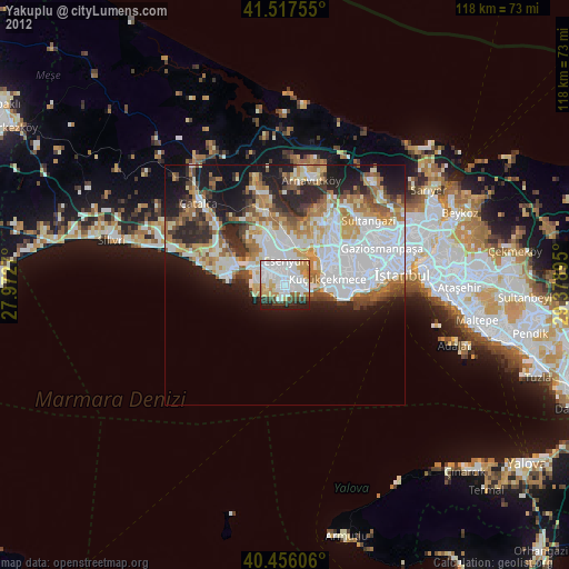
» Earth at Night: Flat Maps 2012, 2016