Genç night lights from space
Night Light of Genç (Bingöl) from space (Turkey) Src. Average luminocity for 10x10km area is 7.1599% and for 50x50km: 2.6343%.
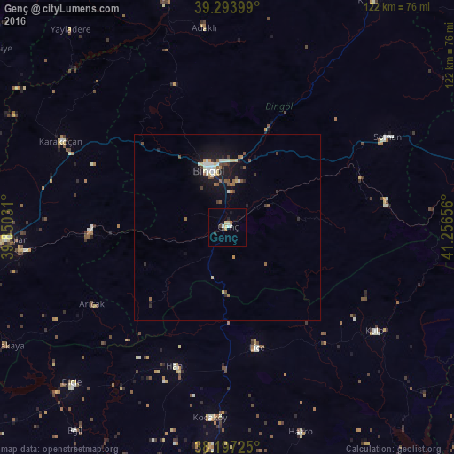
Analysis of Genç night lights 2016
Square area 10x10 km:
100  0.34%
0.34%
90-99 1.7%
80-89 2.04%
70-79 0.51%
60-69 0.85%
50-59 0%
40-49 0.68%
30-39 0.68%
20-29 1.36%
10-19 0.68%
0-9 91.16%
0.34%90-99
1.7%80-89
2.04%70-79
0.51%60-69
0.85%50-59
0%40-49
0.68%30-39
0.68%20-29
1.36%10-19
0.68%0-9
91.16%Square area 50x50 km:
100 0.22%
90-99 0.51%
80-89 0.32%
70-79 0.25%
60-69 0.2%
50-59 0.41%
40-49 0.41%
30-39 0.29%
20-29 0.39%
10-19 2.58%
0-9 94.41%
0.22%90-99
0.51%80-89
0.32%70-79
0.25%60-69
0.2%50-59
0.41%40-49
0.41%30-39
0.29%20-29
0.39%10-19
2.58%0-9
94.41%Clear (daylight) street map image can be seen on geolist.org.
Map coordinates:
39° 17' 38.4" North, 39° 51' 1.1" East
38° 44' 51.8" North, 40° 33' 12.3" East
38° 11' 50.1" North, 41° 15' 23.6" East
Some cities around Genç sort by population:
• Bingöl
16.1 km =10 mi,  341°
341°
• Karakoçan
50.9 km =31.6 mi,  296°
296°
• Kulp
48.2 km =30 mi,  125°
125°
• Lice
33 km =20.5 mi,  167°
167°
• Solhan
49.7 km =30.9 mi,  60°
60°
• Hani
40.5 km =25.2 mi,  201°
201°
• Kocaköy
51.2 km =31.8 mi,  185°
185°
• Arıcak
42.5 km =26.4 mi,  241°
241°
314648 (p: 22,493)
Sources (retrieved 2019-11-25):
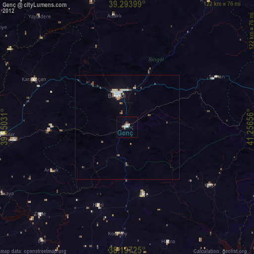
» Earth at Night: Flat Maps 2012, 2016