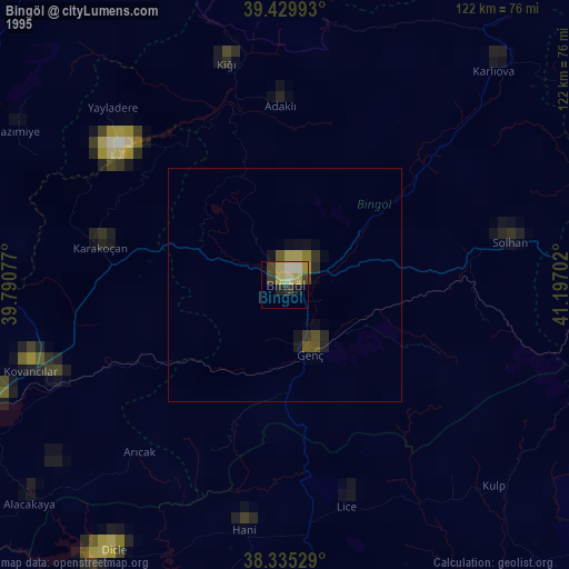
Bingöl night lights from space
Night Light of Bingöl from space (Turkey) Src. Average luminocity for 10x10km area is 32.0357% and for 50x50km: 2.5854%.
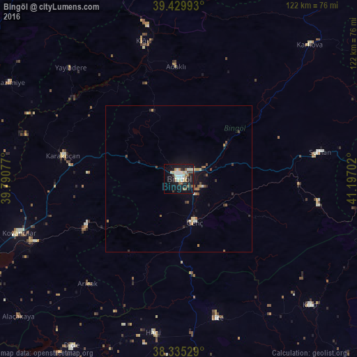

Analysis of Bingöl night lights 2016
Square area 10x10 km:
 4.76%
4.76%90-99
9.52%80-89
4.08%70-79
2.04%60-69
1.7%50-59
4.42%40-49
2.55%30-39
2.21%20-29
4.08%10-19
39.46%0-9
25.17%Square area 50x50 km:
0.22%90-99
0.51%80-89
0.28%70-79
0.28%60-69
0.21%50-59
0.36%40-49
0.43%30-39
0.27%20-29
0.37%10-19
2.61%0-9
94.46%Clear (daylight) street map image can be seen on geolist.org.
Map coordinates:
39° 25' 47.7" North, 39° 47' 26.8" East
38° 53' 5" North, 40° 29' 38" East
38° 20' 7" North, 41° 11' 49.3" East
Some cities around Bingöl sort by population:
• Karakoçan
41.1 km =25.5 mi,  280°
280°
• Kovancılar
57.7 km =35.9 mi,  251°
251°
• Genç
16.1 km =10 mi,  161°
161°
• Lice
49.1 km =30.5 mi,  165°
165°
• Solhan
49.3 km =30.6 mi,  79°
79°
• Palu
54.2 km =33.7 mi, 246°
• Hani
53.9 km =33.5 mi,  190°
190°
• Arıcak
48 km =29.8 mi,  221°
221°
321082 (p: 80,568)
Sources (retrieved 2019-11-25):
» NASA, Earths city lights 1995
» NASA city lights 2003
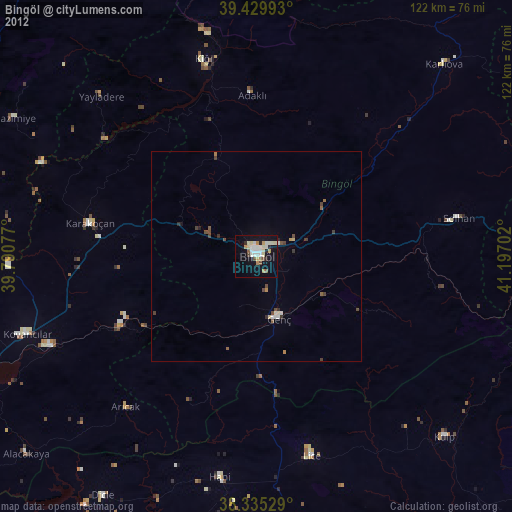
» Earth at Night: Flat Maps 2012, 2016