Edremit night lights from space
Night Light of Edremit (Balıkesir) from space (Turkey) Src. Average luminocity for 10x10km area is 38.3977% and for 50x50km: 9.2591%.
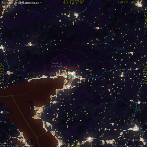
Analysis of Edremit night lights 2016
Square area 10x10 km:
 3.73%
3.73%90-99
7.14%80-89
6.17%70-79
1.95%60-69
5.84%50-59
5.84%40-49
5.19%30-39
9.74%20-29
16.23%10-19
28.25%0-9
9.9%Square area 50x50 km:
0.58%90-99
1.77%80-89
1.12%70-79
0.93%60-69
1.58%50-59
0.85%40-49
1.12%30-39
1.59%20-29
3.17%10-19
8.77%0-9
78.53%Clear (daylight) street map image can be seen on geolist.org.
Map coordinates:
40° 8' 8.8" North, 26° 19' 16.8" East
39° 35' 46" North, 27° 1' 28" East
39° 3' 7.9" North, 27° 43' 39.3" East
Some cities around Edremit sort by population:
• Ayvalık
41.9 km =26 mi,  222°
222°
• Bergama
54.5 km =33.9 mi,  165°
165°
• Burhaniye
11.5 km =7.1 mi,  202°
202°
• Çan
48.7 km =30.3 mi,  2°
2°
• Altınoluk
24.7 km =15.3 mi,  265°
265°
• Havran
7.6 km =4.7 mi,  123°
123°
• Ayvacık
53.1 km =33 mi, 270°
• İvrindi
39.6 km =24.6 mi,  91°
91°
315985 (p: 40,777)
Sources (retrieved 2019-11-25):
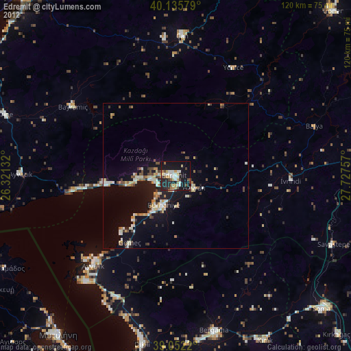
» Earth at Night: Flat Maps 2012, 2016