Bergama night lights from space
Night Light of Bergama (İzmir) from space (Turkey) Src. Average luminocity for 10x10km area is 28.974% and for 50x50km: 7.3918%.
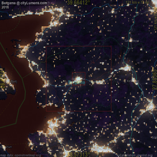
Analysis of Bergama night lights 2016
Square area 10x10 km:
 3.73%
3.73%90-99
7.47%80-89
2.92%70-79
2.6%60-69
2.44%50-59
1.95%40-49
3.41%30-39
5.19%20-29
4.22%10-19
36.85%0-9
29.22%Square area 50x50 km:
0.25%90-99
1.22%80-89
0.83%70-79
0.56%60-69
0.88%50-59
1.01%40-49
1.2%30-39
1.55%20-29
1.57%10-19
4.93%0-9
85.99%Clear (daylight) street map image can be seen on geolist.org.
Map coordinates:
39° 39' 50.8" North, 26° 28' 38.6" East
39° 7' 14.7" North, 27° 10' 49.9" East
38° 34' 23.3" North, 27° 53' 1.1" East
Some cities around Bergama sort by population:
• Ayvalık
47.4 km =29.5 mi,  297°
297°
• Soma
37.7 km =23.4 mi,  78°
78°
• Aliağa
40 km =24.9 mi,  206°
206°
• Burhaniye
45.8 km =28.5 mi,  337°
337°
• Kırkağaç
42.2 km =26.2 mi,  92°
92°
• Dikili
25.7 km =16 mi,  257°
257°
• Havran
49.2 km =30.6 mi,  351°
351°
• Kınık
17.9 km =11.1 mi,  102°
102°
321426 (p: 57,200)
Sources (retrieved 2019-11-25):
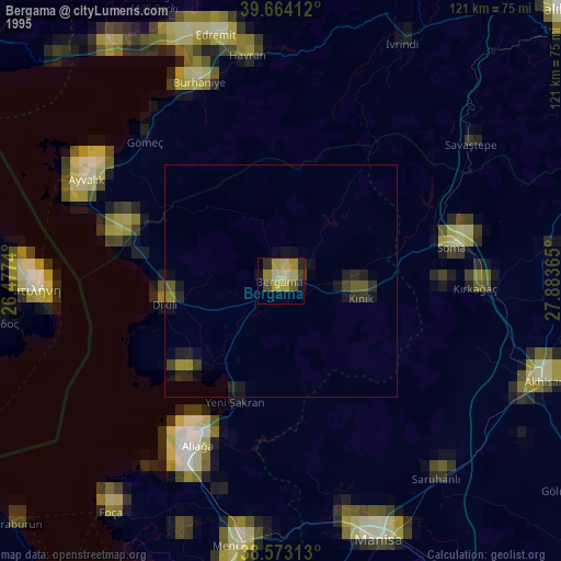
» NASA, Earths city lights 1995
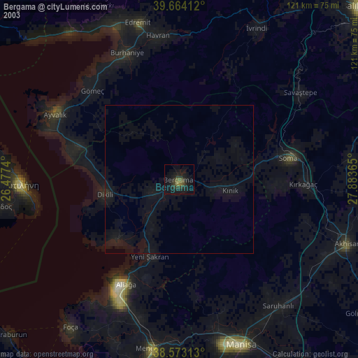
» NASA city lights 2003
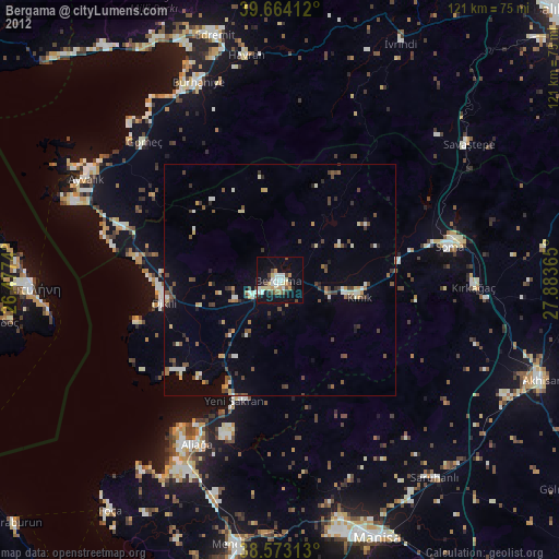
» Earth at Night: Flat Maps 2012, 2016