Cizre night lights from space
Night Light of Cizre (Şırnak) from space (Turkey) Src. Average luminocity for 10x10km area is 36.7451% and for 50x50km: 5.9234%.
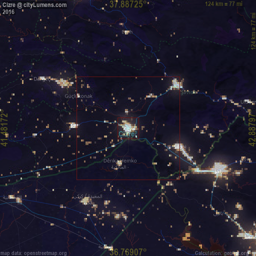
Analysis of Cizre night lights 2016
Square area 10x10 km:
 6.82%
6.82%90-99
6.33%80-89
7.63%70-79
3.41%60-69
1.3%50-59
3.25%40-49
2.92%30-39
5.68%20-29
8.6%10-19
44.32%0-9
9.74%Square area 50x50 km:
0.44%90-99
0.95%80-89
0.91%70-79
0.41%60-69
0.5%50-59
0.55%40-49
1.35%30-39
1.19%20-29
1.14%10-19
4.38%0-9
88.17%Clear (daylight) street map image can be seen on geolist.org.
Map coordinates:
37° 53' 14.1" North, 41° 28' 54.2" East
37° 19' 48.9" North, 42° 11' 5.4" East
36° 46' 8.7" North, 42° 53' 16.7" East
Some cities around Cizre sort by population:
• Zaxo, IQ
48.7 km =30.3 mi,  114°
114°
• Silopi
26.5 km =16.5 mi, 111°
• Şırnak
31.4 km =19.5 mi,  49°
49°
• İdil
26.1 km =16.2 mi,  271°
271°
• Dargeçit
47.8 km =29.7 mi,  300°
300°
• Uludere
60.2 km =37.4 mi,  78°
78°
• Eruh
45.8 km =28.5 mi,  358°
358°
• Kumçatı
17.6 km =10.9 mi,  31°
31°
318253 (p: 80,992)
Sources (retrieved 2019-11-25):
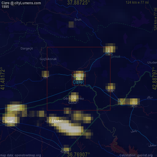
» NASA, Earths city lights 1995
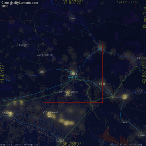
» NASA city lights 2003
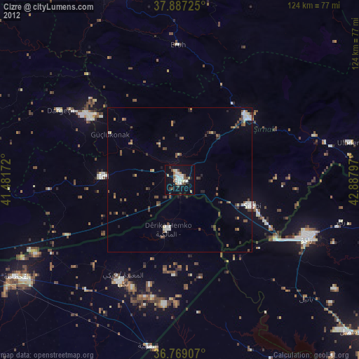
» Earth at Night: Flat Maps 2012, 2016