İdil night lights from space
Night Light of İdil (Şırnak) from space (Turkey) Src. Average luminocity for 10x10km area is 13.7516% and for 50x50km: 5.3596%.
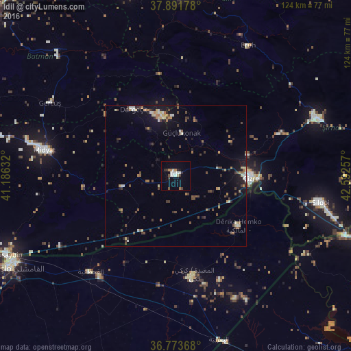
Analysis of İdil night lights 2016
Square area 10x10 km:
 1.14%
1.14%90-99
4.71%80-89
0%70-79
0.97%60-69
2.27%50-59
0.81%40-49
0.81%30-39
2.76%20-29
1.46%10-19
2.76%0-9
82.31%Square area 50x50 km:
0.27%90-99
0.79%80-89
0.6%70-79
0.46%60-69
0.86%50-59
0.56%40-49
1.33%30-39
1.08%20-29
0.94%10-19
3.06%0-9
90.05%Clear (daylight) street map image can be seen on geolist.org.
Map coordinates:
37° 53' 30.4" North, 41° 11' 10.8" East
37° 20' 5.3" North, 41° 53' 22" East
36° 46' 25.2" North, 42° 35' 33.3" East
Some cities around İdil sort by population:
• Cizre
26.1 km =16.2 mi,  91°
91°
• Midyat
49.5 km =30.8 mi,  280°
280°
• Silopi
51.8 km =32.2 mi,  101°
101°
• Dargeçit
28 km =17.4 mi,  326°
326°
• Gerdzhyush
51.8 km =32.2 mi,  299°
299°
• Eruh
51.8 km =32.2 mi,  29°
29°
• Yolbaşı
50.9 km =31.6 mi, 276°
• Kumçatı
38.1 km =23.7 mi,  67°
67°
311704 (p: 22,960)
Sources (retrieved 2019-11-25):
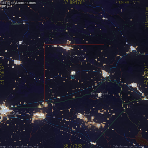
» Earth at Night: Flat Maps 2012, 2016