Al Ḩasakah night lights from space
Night Light of Al Ḩasakah (Al-Hasakah) from space (Syria) Src. Average luminocity for 10x10km area is 7.9963% and for 50x50km: 0.6407%.
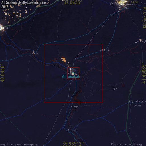

Analysis of Al Ḩasakah night lights 2016
Square area 10x10 km:
 0%
0%90-99
0%80-89
1.47%70-79
0.73%60-69
1.47%50-59
0.73%40-49
1.83%30-39
3.85%20-29
4.21%10-19
3.11%0-9
82.6%Square area 50x50 km:
0%90-99
0%80-89
0.06%70-79
0.03%60-69
0.4%50-59
0.03%40-49
0.1%30-39
0.15%20-29
0.21%10-19
0.12%0-9
98.89%Clear (daylight) street map image can be seen on geolist.org.
Map coordinates:
37° 3' 55.8" North, 40° 2' 40.6" East
36° 30' 8.5" North, 40° 44' 51.8" East
35° 56' 6.4" North, 41° 27' 3.1" East
Some cities around Al Ḩasakah sort by population:
• Kızıltepe, TR
77.8 km =48.3 mi,  348°
348°
• Nusaybin, TR
75.6 km =47 mi,  33°
33°
• Mardin, TR
90.1 km =56 mi,  359°
359°
• Yeşilli, TR
93.1 km =57.8 mi,  3°
3°
• Ceylanpınar, TR
73.1 km =45.4 mi,  301°
301°
• Ad Darbāsīyah
64 km =39.8 mi, 352°
• Akarsu, TR
84.9 km =52.8 mi,  18°
18°
• Ortaköy, TR
80 km =49.7 mi, 2°
173811 (p: 81,539)
Sources (retrieved 2019-11-25):
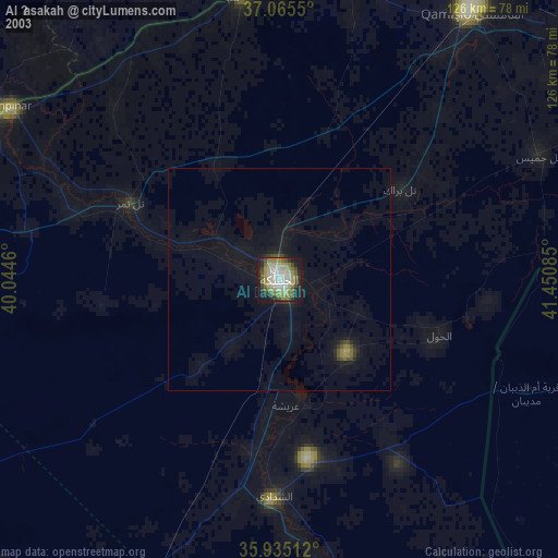
» NASA, Earths city lights 1995
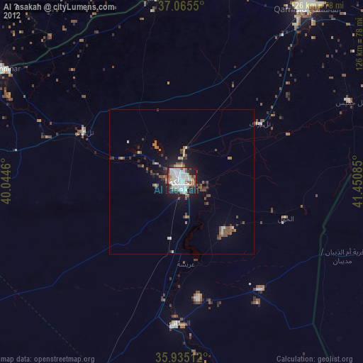
» NASA city lights 2003
» Earth at Night: Flat Maps 2012, 2016