Bozüyük night lights from space
Night Light of Bozüyük (Bilecik) from space (Turkey) Src. Average luminocity for 10x10km area is 30.0969% and for 50x50km: 4.6024%.
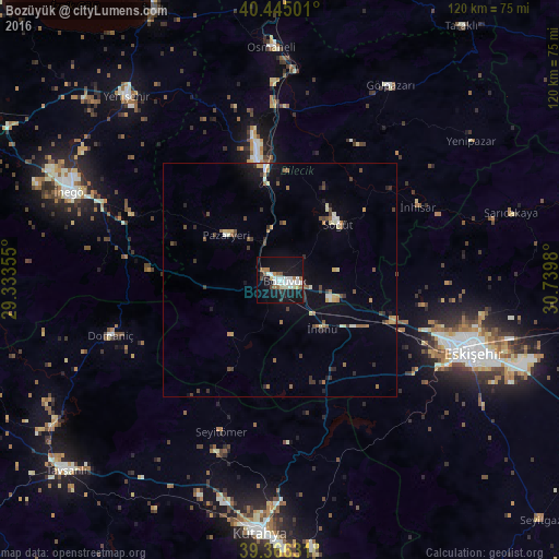
Analysis of Bozüyük night lights 2016
Square area 10x10 km:
 6.12%
6.12%90-99
7.82%80-89
2.89%70-79
0.85%60-69
3.06%50-59
4.25%40-49
1.53%30-39
1.02%20-29
2.89%10-19
41.33%0-9
28.23%Square area 50x50 km:
0.36%90-99
0.67%80-89
0.47%70-79
0.46%60-69
0.57%50-59
0.69%40-49
0.64%30-39
0.83%20-29
0.68%10-19
3.04%0-9
91.58%Clear (daylight) street map image can be seen on geolist.org.
Map coordinates:
40° 26' 42" North, 29° 20' 0.8" East
39° 54' 28" North, 30° 2' 12" East
39° 21' 58.7" North, 30° 44' 23.3" East
Some cities around Bozüyük sort by population:
• Eskişehir
43.8 km =27.2 mi,  109°
109°
• İnegol
48.4 km =30.1 mi,  293°
293°
• Bilecik
26.5 km =16.5 mi,  349°
349°
• Osmaneli
50 km =31.1 mi,  357°
357°
• Mihalgazi
47.9 km =29.8 mi,  74°
74°
• Gölpazarı
48.2 km =30 mi,  29°
29°
• Pazaryeri
14.8 km =9.2 mi,  310°
310°
• Domaniç
38.3 km =23.8 mi,  252°
252°
320557 (p: 55,365)
Sources (retrieved 2019-11-25):
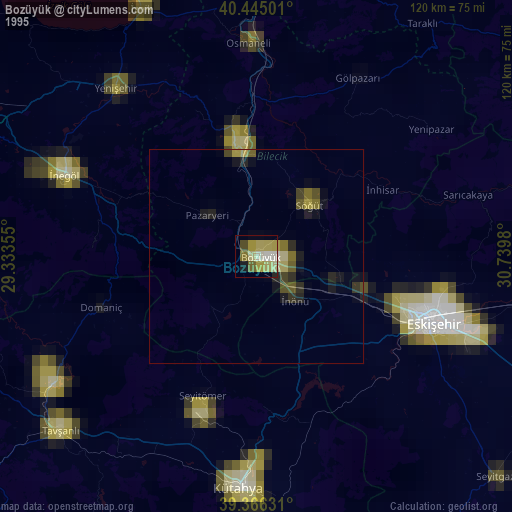
» NASA, Earths city lights 1995
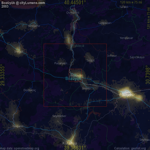
» NASA city lights 2003
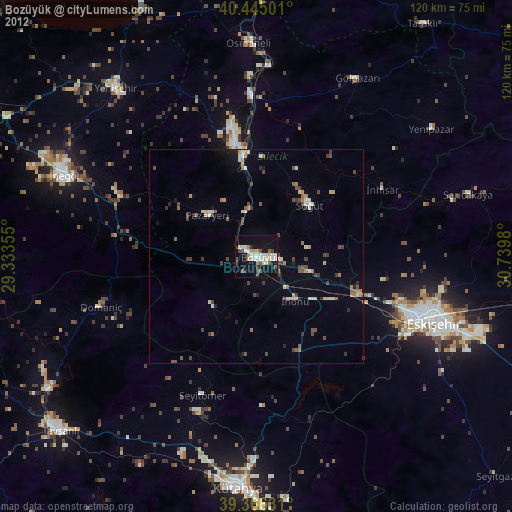
» Earth at Night: Flat Maps 2012, 2016