Eskişehir night lights from space
Night Light of Eskişehir from space (Turkey) Src. Average luminocity for 10x10km area is 84.0187% and for 50x50km: 10.5025%.
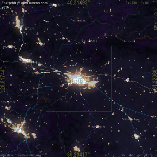
Analysis of Eskişehir night lights 2016
Square area 10x10 km:
 37.24%
90-99
24.83%80-89
5.95%70-79
6.63%60-69
8.16%50-59
5.1%40-49
6.29%30-39
3.91%20-29
1.87%10-19
0%0-9
0%Square area 50x50 km:
2.02%90-99
1.78%80-89
0.86%70-79
1.09%60-69
1.59%50-59
1.28%40-49
1.42%30-39
1.92%20-29
3%10-19
5.72%0-9
79.33%Clear (daylight) street map image can be seen on geolist.org.
Map coordinates:
40° 18' 53.7" North, 29° 49' 2.8" East
39° 46' 36" North, 30° 31' 14" East
39° 14' 3" North, 31° 13' 25.3" East
Some cities around Eskişehir sort by population:
• Kütahya
60.5 km =37.6 mi,  229°
229°
• Bozüyük
43.8 km =27.2 mi,  289°
289°
• Bilecik
61.5 km =38.2 mi,  311°
311°
• Mihalgazi
28.2 km =17.5 mi,  9°
9°
• Gölpazarı
59.1 km =36.7 mi,  342°
342°
• Pazaryeri
57.9 km =36 mi, 294°
• Alpu
37.6 km =23.4 mi,  91°
91°
• Beylikova
59.4 km =36.9 mi,  99°
99°
315202 (p: 514,869)
Sources (retrieved 2019-11-25):
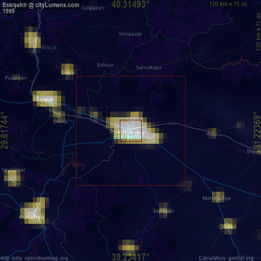
» NASA, Earths city lights 1995
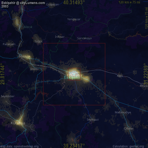
» NASA city lights 2003
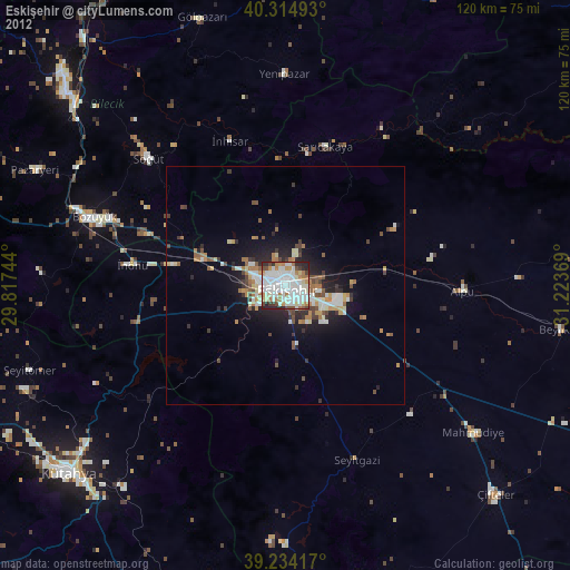
» Earth at Night: Flat Maps 2012, 2016