Gafour night lights from space
Night Light of Gafour (Silyānah) from space (Tunisia) Src. Average luminocity for 10x10km area is 5.021% and for 50x50km: 0.9987%.
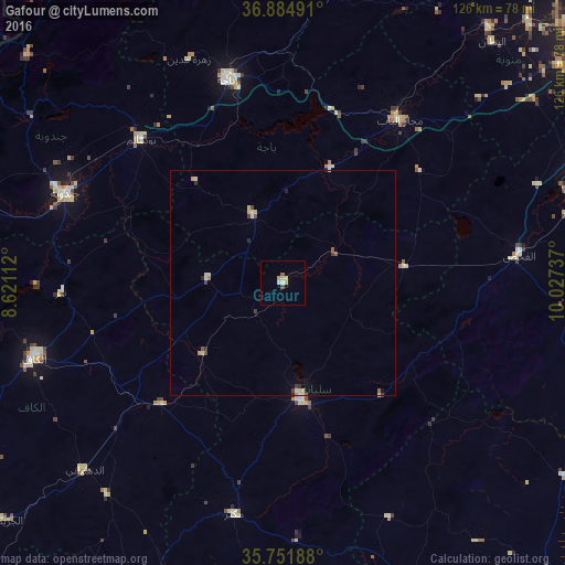
Analysis of Gafour night lights 2016
Square area 10x10 km:
 0.35%
0.35%90-99
1.05%80-89
1.4%70-79
1.4%60-69
0%50-59
0.7%40-49
0.7%30-39
0%20-29
0%10-19
0%0-9
94.41%Square area 50x50 km:
0.06%90-99
0.16%80-89
0.3%70-79
0.12%60-69
0.04%50-59
0.12%40-49
0.17%30-39
0.18%20-29
0.17%10-19
0.03%0-9
98.65%Clear (daylight) street map image can be seen on geolist.org.
Map coordinates:
36° 53' 5.7" North, 8° 37' 16" East
36° 19' 13.6" North, 9° 19' 27.3" East
35° 45' 6.8" North, 10° 1' 38.5" East
Some cities around Gafour sort by population:
• Béja
46.8 km =29.1 mi,  344°
344°
• Siliana
26.5 km =16.5 mi,  170°
170°
• Medjez el Bab
44.8 km =27.8 mi,  35°
35°
• Testour
27.8 km =17.3 mi,  22°
22°
• Tabursuq
16.7 km =10.4 mi, 335°
• Bou Arada
26.9 km =16.7 mi,  82°
82°
• As Sars
38.4 km =23.9 mi,  225°
225°
• Le Krib
16.9 km =10.5 mi,  272°
272°
2468349 (p: 10,556)
Sources (retrieved 2019-11-25):
» Earth at Night: Flat Maps 2012, 2016