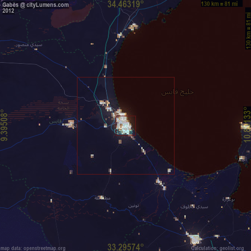
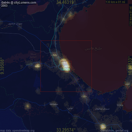
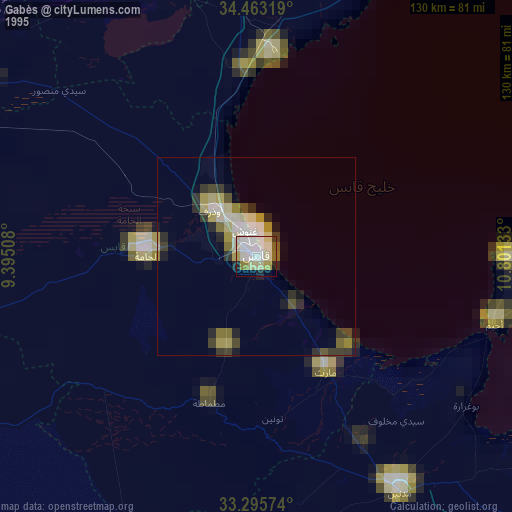
Gabès night lights from space
Night Light of Gabès (Qābis) from space (Tunisia) Src. Average luminocity for 10x10km area is 55.528% and for 50x50km: 4.6492%.

Analysis of Gabès night lights 2016
Square area 10x10 km:
 9.62%
9.62%90-99
9.62%80-89
11.19%70-79
17.13%60-69
6.99%50-59
0.87%40-49
4.02%30-39
3.85%20-29
14.51%10-19
19.93%0-9
2.27%Square area 50x50 km:
0.47%90-99
0.61%80-89
0.93%70-79
1.1%60-69
0.53%50-59
0.13%40-49
0.45%30-39
0.48%20-29
1.2%10-19
3.79%0-9
90.31%Clear (daylight) street map image can be seen on geolist.org.
Map coordinates:
34° 27' 47.5" North, 9° 23' 42.3" East
33° 52' 53.3" North, 10° 5' 53.5" East
33° 17' 44.7" North, 10° 48' 4.8" East
Some cities around Gabès sort by population:
• Houmt El Souk
70.1 km =43.6 mi,  90°
90°
• El Hamma
27.9 km =17.3 mi,  272°
272°
• Medenine
69.6 km =43.2 mi,  147°
147°
• Midoun
83 km =51.6 mi,  95°
95°
• Erriadh
70.1 km =43.6 mi, 95°
• Skhira
46.5 km =28.9 mi,  356°
356°
• As Sanad
100.3 km =62.3 mi,  310°
310°
• Mezzouna
80.9 km =50.3 mi,  343°
343°
2468369 (p: 110,075)
Sources (retrieved 2019-11-25):
» NASA, Earths city lights 1995
» NASA city lights 2003
» Earth at Night: Flat Maps 2012, 2016