El Golaa night lights from space
Night Light of El Golaa (Qibilī) from space (Tunisia) Src. Average luminocity for 10x10km area is 20.2308% and for 50x50km: 2.1578%.
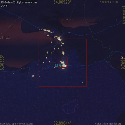
Analysis of El Golaa night lights 2016
Square area 10x10 km:
 3.3%
3.3%90-99
4.03%80-89
2.56%70-79
2.93%60-69
1.65%50-59
1.83%40-49
2.56%30-39
1.28%20-29
0.18%10-19
15.93%0-9
63.74%Square area 50x50 km:
0.22%90-99
0.25%80-89
0.42%70-79
0.29%60-69
0.31%50-59
0.16%40-49
0.27%30-39
0.29%20-29
0.09%10-19
0.98%0-9
96.71%Clear (daylight) street map image can be seen on geolist.org.
Map coordinates:
34° 4' 9.4" North, 8° 18' 13.1" East
33° 29' 5.5" North, 9° 0' 24.4" East
32° 53' 47.2" North, 9° 42' 35.6" East
Some cities around El Golaa sort by population:
• Gafsa
106.5 km =66.2 mi,  348°
348°
• El Hamma
85.9 km =53.4 mi,  58°
58°
• Metlaoui
108.4 km =67.4 mi,  328°
328°
• Tozeur
94.1 km =58.5 mi,  300°
300°
• Douz
2.4 km =1.5 mi,  148°
148°
• Kebili
24.7 km =15.3 mi, 351°
• Degache
91.9 km =57.1 mi,  306°
306°
• Jemna
10.4 km =6.5 mi,  4°
4°
2473486 (p: 7,189)
Sources (retrieved 2019-11-25):
» Earth at Night: Flat Maps 2012, 2016