Khorugh night lights from space
Night Light of Khorugh (Gorno-Badakhshan) from space (Tajikistan) Src. Average luminocity for 10x10km area is 7.3766% and for 50x50km: 0.3664%.
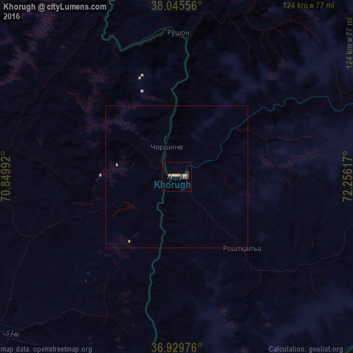
Analysis of Khorugh night lights 2016
Square area 10x10 km:
 0%
0%90-99
0.65%80-89
2.27%70-79
0.65%60-69
1.62%50-59
0.65%40-49
1.95%30-39
1.3%20-29
1.95%10-19
0%0-9
88.96%Square area 50x50 km:
0%90-99
0.03%80-89
0.12%70-79
0.05%60-69
0.07%50-59
0.03%40-49
0.08%30-39
0.05%20-29
0.08%10-19
0.01%0-9
99.47%Clear (daylight) street map image can be seen on geolist.org.
Map coordinates:
38° 2' 44" North, 70° 50' 59.7" East
37° 29' 23.1" North, 71° 33' 10.9" East
36° 55' 47.1" North, 72° 15' 22.2" East
Some cities around Khorugh sort by population:
• Kŭlob
162.6 km =101 mi,  286°
286°
• Fayzabad, AF
95.5 km =59.3 mi,  244°
244°
• Ishqoshim
85.2 km =52.9 mi,  176°
176°
• Rustāq, AF
157.6 km =97.9 mi,  255°
255°
• Ashkāsham, AF
89.7 km =55.7 mi, 181°
• Jurm, AF
94.3 km =58.6 mi,  222°
222°
• Mŭ’minobod
150.2 km =93.3 mi,  297°
297°
• Khandūd, AF
90.4 km =56.2 mi,  131°
131°
1221328 (p: 30,000)
Sources (retrieved 2019-11-25):
» Earth at Night: Flat Maps 2012, 2016