Ashkāsham night lights from space
Night Light of Ashkāsham (Badakhshan) from space (Afghanistan) Src. Average luminocity for 10x10km area is 0% and for 50x50km: 0.0201%.
Analysis of Ashkāsham night lights 2016
Square area 10x10 km:
 0%
0%90-99
0%80-89
0%70-79
0%60-69
0%50-59
0%40-49
0%30-39
0%20-29
0%10-19
0%0-9
100%Square area 50x50 km:
0%90-99
0%80-89
0%70-79
0%60-69
0%50-59
0%40-49
0%30-39
0.05%20-29
0%10-19
0%0-9
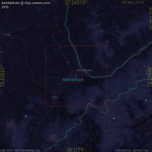
99.95%Clear (daylight) street map image can be seen on geolist.org.
Map coordinates:
37° 14' 42.5" North, 70° 49' 48.8" East
36° 40' 60" North, 71° 31' 60" East
36° 7' 2.6" North, 72° 14' 11.3" East
Some cities around Ashkāsham sort by population:
• Fayzabad
97.5 km =60.6 mi,  299°
299°
• Khorugh, TJ
89.7 km =55.7 mi,  1°
1°
• Thal, PK
148.4 km =92.2 mi,  154°
154°
• Ishqoshim, TJ
8.5 km =5.3 mi,  57°
57°
• Jurm
65.5 km =40.7 mi,  287°
287°
• Farkhār
150 km =93.2 mi,  265°
265°
• Khandūd
75.9 km =47.2 mi,  66°
66°
• Pārūn
150.7 km =93.6 mi,  201°
201°
1148268 (p: 12,120)
Sources (retrieved 2019-11-25):
» Earth at Night: Flat Maps 2012, 2016