Fayzabad night lights from space
Night Light of Fayzabad (Badakhshan) from space (Afghanistan) Src. Average luminocity for 10x10km area is 0% and for 50x50km: 0%.
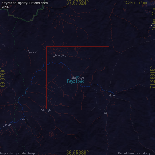
Analysis of Fayzabad night lights 2016
Square area 10x10 km:
 0%
0%90-99
0%80-89
0%70-79
0%60-69
0%50-59
0%40-49
0%30-39
0%20-29
0%10-19
0%0-9
100%Square area 50x50 km:
0%90-99
0%80-89
0%70-79
0%60-69
0%50-59
0%40-49
0%30-39
0%20-29
0%10-19
0%0-9
100%Clear (daylight) street map image can be seen on geolist.org.
Map coordinates:
37° 40' 30.9" North, 69° 52' 36.8" East
37° 6' 59.9" North, 70° 34' 48.1" East
36° 33' 14" North, 71° 16' 59.3" East
Some cities around Fayzabad sort by population:
• Khorugh, TJ
95.5 km =59.3 mi,  64°
64°
• Rustāq
66.5 km =41.3 mi,  270°
270°
• Chubek, TJ
95.1 km =59.1 mi,  305°
305°
• Ārt Khwājah
97.6 km =60.6 mi, 267°
• Ashkāsham
97.5 km =60.6 mi,  119°
119°
• Jurm
36 km =22.4 mi,  141°
141°
• Farkhār
88.2 km =54.8 mi,  226°
226°
• Yangī Qal‘ah
94.1 km =58.5 mi,  294°
294°
1142170 (p: 44,421)
Sources (retrieved 2019-11-25):
» Earth at Night: Flat Maps 2012, 2016