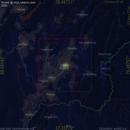
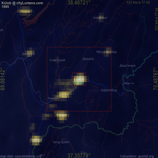
Kŭlob night lights from space
Night Light of Kŭlob (Khatlon) from space (Tajikistan) Src. Average luminocity for 10x10km area is 21.8994% and for 50x50km: 1.1848%.
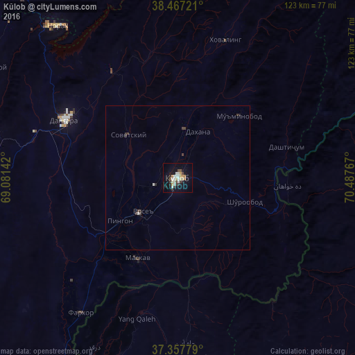

Analysis of Kŭlob night lights 2016
Square area 10x10 km:
 1.14%
1.14%90-99
6.82%80-89
1.79%70-79
3.08%60-69
1.95%50-59
2.11%40-49
1.46%30-39
4.38%20-29
1.79%10-19
19.81%0-9
55.68%Square area 50x50 km:
0.05%90-99
0.34%80-89
0.07%70-79
0.13%60-69
0.08%50-59
0.09%40-49
0.21%30-39
0.27%20-29
0.2%10-19
0.84%0-9
97.73%Clear (daylight) street map image can be seen on geolist.org.
Map coordinates:
38° 28' 2" North, 69° 4' 53.1" East
37° 54' 52.5" North, 69° 47' 4.3" East
37° 21' 28" North, 70° 29' 15.6" East
Some cities around Kŭlob sort by population:
• Danghara
43.9 km =27.3 mi,  297°
297°
• Farkhor
57.7 km =35.9 mi,  215°
215°
• Vose’
17.4 km =10.8 mi,  225°
225°
• Chubek
34.1 km =21.2 mi,  191°
191°
• Norak
66.4 km =41.3 mi,  322°
322°
• Mŭ’minobod
30.5 km =19 mi,  45°
45°
• Sovet
22.6 km =14 mi,  310°
310°
• Yangī Qal‘ah, AF
52.2 km =32.4 mi,  196°
196°
1221194 (p: 78,786)
Sources (retrieved 2019-11-25):
» NASA, Earths city lights 1995
» NASA city lights 2003
» Earth at Night: Flat Maps 2012, 2016