Ishqoshim night lights from space
Night Light of Ishqoshim (Gorno-Badakhshan) from space (Tajikistan) Src. Average luminocity for 10x10km area is 0.2821% and for 50x50km: 0.0201%.
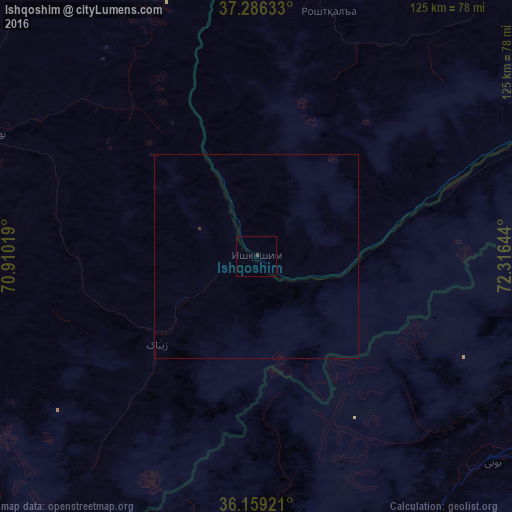
Analysis of Ishqoshim night lights 2016
Square area 10x10 km:
 0%
0%90-99
0%80-89
0%70-79
0%60-69
0%50-59
0%40-49
0%30-39
0.73%20-29
0%10-19
0%0-9
99.27%Square area 50x50 km:
0%90-99
0%80-89
0%70-79
0%60-69
0%50-59
0%40-49
0%30-39
0.05%20-29
0%10-19
0%0-9
99.95%Clear (daylight) street map image can be seen on geolist.org.
Map coordinates:
37° 17' 10.8" North, 70° 54' 36.7" East
36° 43' 29.4" North, 71° 36' 47.9" East
36° 9' 33.2" North, 72° 18' 59.2" East
Some cities around Ishqoshim sort by population:
• Fayzabad, AF
101.7 km =63.2 mi,  295°
295°
• Khorugh
85.2 km =52.9 mi,  356°
356°
• Thal, PK
149.7 km =93 mi,  157°
157°
• Ashkāsham, AF
8.5 km =5.3 mi,  237°
237°
• Jurm, AF
71.1 km =44.2 mi,  282°
282°
• Farkhār, AF
157.5 km =97.9 mi,  263°
263°
• Khandūd, AF
67.6 km =42 mi,  68°
68°
• Pārūn, AF
157.7 km =98 mi,  203°
203°
1221614 (p: 26,000)
Sources (retrieved 2019-11-25):
» Earth at Night: Flat Maps 2012, 2016