Hisor night lights from space
Night Light of Hisor (Republican Subordination) from space (Tajikistan) Src. Average luminocity for 10x10km area is 11.4886% and for 50x50km: 8.3933%.
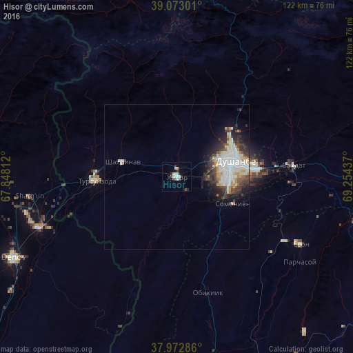
Analysis of Hisor night lights 2016
Square area 10x10 km:
 1.62%
1.62%90-99
3.57%80-89
1.3%70-79
0%60-69
0%50-59
0.97%40-49
2.27%30-39
1.3%20-29
1.95%10-19
1.95%0-9
85.06%Square area 50x50 km:
2.04%90-99
2.23%80-89
0.82%70-79
0.8%60-69
0.42%50-59
0.38%40-49
1.33%30-39
1.47%20-29
1.95%10-19
2.91%0-9
85.65%Clear (daylight) street map image can be seen on geolist.org.
Map coordinates:
39° 4' 22.8" North, 67° 50' 53.2" East
38° 31' 30.1" North, 68° 33' 4.5" East
37° 58' 22.3" North, 69° 15' 15.7" East
Some cities around Hisor sort by population:
• Dushanbe
19.9 km =12.4 mi,  86°
86°
• Denov, UZ
63.7 km =39.6 mi,  243°
243°
• Vahdat
40.4 km =25.1 mi, 85°
• Tursunzoda
27.8 km =17.3 mi,  267°
267°
• Boshkengash
23.1 km =14.4 mi,  106°
106°
• Yovon
48.4 km =30.1 mi,  118°
118°
• Khodzha-Maston
25.3 km =15.7 mi,  15°
15°
• Shahrinav
19.5 km =12.1 mi,  285°
285°
1221714 (p: 23,978)
Sources (retrieved 2019-11-25):
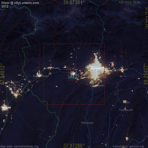
» Earth at Night: Flat Maps 2012, 2016