Dushanbe night lights from space
Night Light of Dushanbe from space (Tajikistan) Src. Average luminocity for 10x10km area is 84.5114% and for 50x50km: 10.333%.
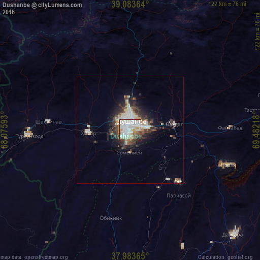
Analysis of Dushanbe night lights 2016
Square area 10x10 km:
 32.14%
90-99
30.03%80-89
8.6%70-79
7.95%60-69
3.57%50-59
3.73%40-49
8.28%30-39
2.44%20-29
2.92%10-19
0.32%0-9
0%Square area 50x50 km:
2.16%90-99
2.62%80-89
1.09%70-79
0.85%60-69
0.55%50-59
0.5%40-49
1.86%30-39
2.05%20-29
2.82%10-19
4.2%0-9
81.31%Clear (daylight) street map image can be seen on geolist.org.
Map coordinates:
39° 5' 1.1" North, 68° 4' 33.3" East
38° 32' 8.7" North, 68° 46' 44.6" East
37° 59' 1.1" North, 69° 28' 55.8" East
Some cities around Dushanbe sort by population:
• Vahdat
20.5 km =12.7 mi,  83°
83°
• Tursunzoda
47.7 km =29.6 mi,  266°
266°
• Hisor
19.9 km =12.4 mi, 266°
• Boshkengash
8.1 km =5 mi,  163°
163°
• Norak
50.1 km =31.1 mi,  108°
108°
• Yovon
33.4 km =20.8 mi,  137°
137°
• Khodzha-Maston
26.7 km =16.6 mi,  330°
330°
• Shahrinav
38.8 km =24.1 mi,  275°
275°
1221874 (p: 679,400)
Sources (retrieved 2019-11-25):
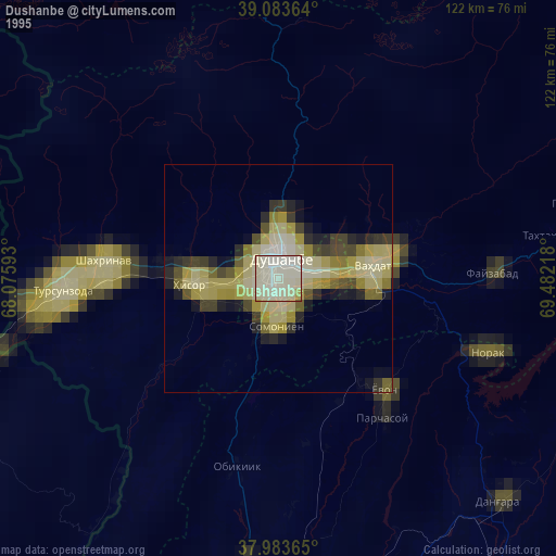
» NASA, Earths city lights 1995
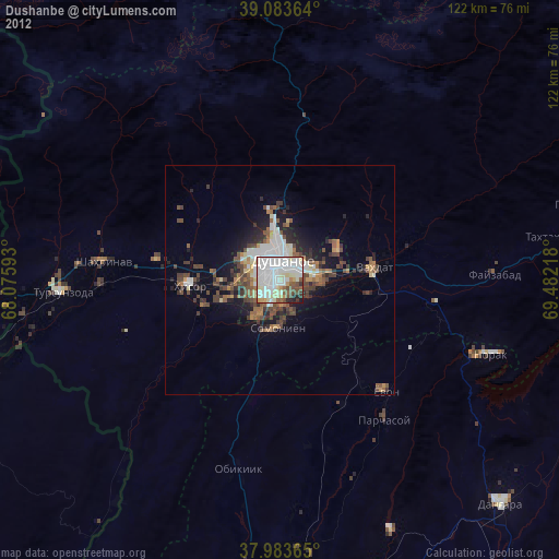
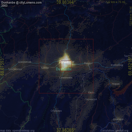
» NASA city lights 2003
» Earth at Night: Flat Maps 2012, 2016