Boshkengash night lights from space
Night Light of Boshkengash (Dushanbe) from space (Tajikistan) Src. Average luminocity for 10x10km area is 22.2695% and for 50x50km: 10.357%.
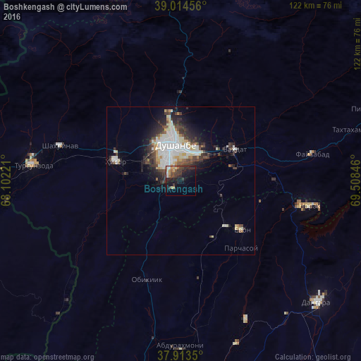
Analysis of Boshkengash night lights 2016
Square area 10x10 km:
 0.49%
0.49%90-99
3.57%80-89
2.44%70-79
2.76%60-69
2.27%50-59
1.14%40-49
7.14%30-39
7.95%20-29
9.9%10-19
17.37%0-9
44.97%Square area 50x50 km:
2.16%90-99
2.62%80-89
1.11%70-79
0.85%60-69
0.55%50-59
0.53%40-49
1.89%30-39
2.02%20-29
2.83%10-19
4.17%0-9
81.27%Clear (daylight) street map image can be seen on geolist.org.
Map coordinates:
39° 0' 52.4" North, 68° 6' 8" East
38° 27' 58.1" North, 68° 48' 19.2" East
37° 54' 48.6" North, 69° 30' 30.5" East
Some cities around Boshkengash sort by population:
• Dushanbe
8.1 km =5 mi,  343°
343°
• Vahdat
20.7 km =12.9 mi,  61°
61°
• Tursunzoda
50.2 km =31.2 mi,  275°
275°
• Hisor
23.1 km =14.4 mi,  286°
286°
• Norak
45.9 km =28.5 mi,  100°
100°
• Yovon
26.4 km =16.4 mi,  129°
129°
• Khodzha-Maston
34.6 km =21.5 mi,  333°
333°
• Shahrinav
42.5 km =26.4 mi, 285°
1222107 (p: 23,696)
Sources (retrieved 2019-11-25):
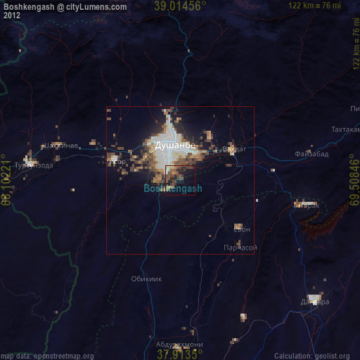
» Earth at Night: Flat Maps 2012, 2016