Tha Bo night lights from space
Night Light of Tha Bo (Nong Khai) from space (Thailand) Src. Average luminocity for 10x10km area is 29.9437% and for 50x50km: 21.2696%.
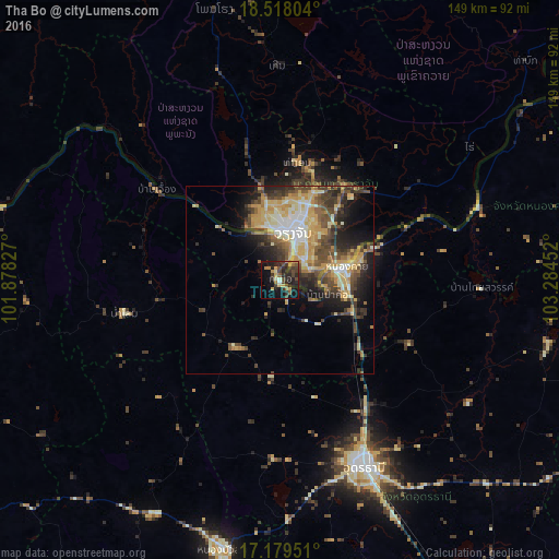
Analysis of Tha Bo night lights 2016
Square area 10x10 km:
 0.43%
0.43%90-99
2.38%80-89
2.16%70-79
6.93%60-69
4.55%50-59
3.25%40-49
8.66%30-39
10.61%20-29
15.58%10-19
22.29%0-9
23.16%Square area 50x50 km:
1.75%90-99
3.42%80-89
3.9%70-79
4.39%60-69
2.42%50-59
2.88%40-49
4.89%30-39
3.97%20-29
5.15%10-19
7.32%0-9
59.91%Clear (daylight) street map image can be seen on geolist.org.
Map coordinates:
18° 31' 4.9" North, 101° 52' 41.8" East
17° 51' 0.1" North, 102° 34' 53" East
17° 10' 46.2" North, 103° 17' 4.3" East
Some cities around Tha Bo sort by population:
• Udon Thani
52.9 km =32.9 mi,  155°
155°
• Vientiane, LA
13.1 km =8.1 mi,  8°
8°
• Nong Khai
17.3 km =10.7 mi,  79°
79°
• Na Klang
73.3 km =45.5 mi,  214°
214°
• Kut Chap
47.2 km =29.3 mi,  181°
181°
• Nam Som
42.4 km =26.3 mi,  257°
257°
• Phon Charoen
65.2 km =40.5 mi,  71°
71°
• Si Chiang Mai
11.8 km =7.3 mi,  2°
2°
1605677 (p: 35,292)
Sources (retrieved 2019-11-25):
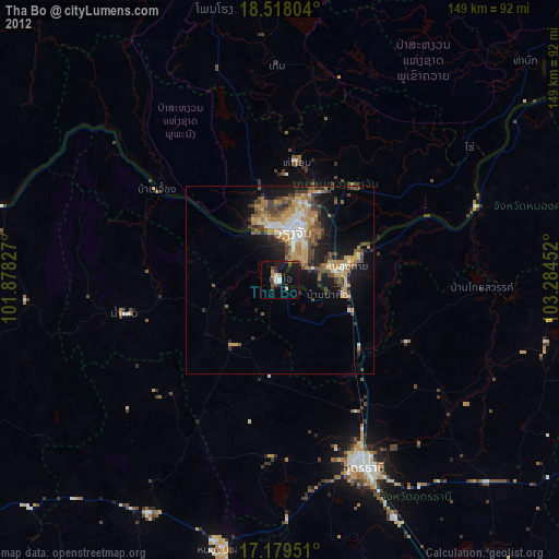
» Earth at Night: Flat Maps 2012, 2016