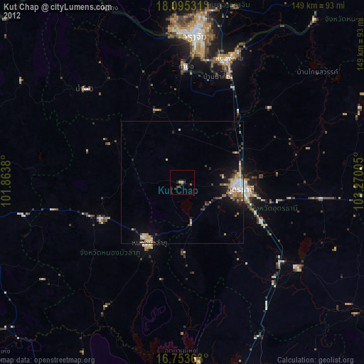
Kut Chap night lights from space
Night Light of Kut Chap (Udon Thani) from space (Thailand) Src. Average luminocity for 10x10km area is 5.6983% and for 50x50km: 8.2693%.
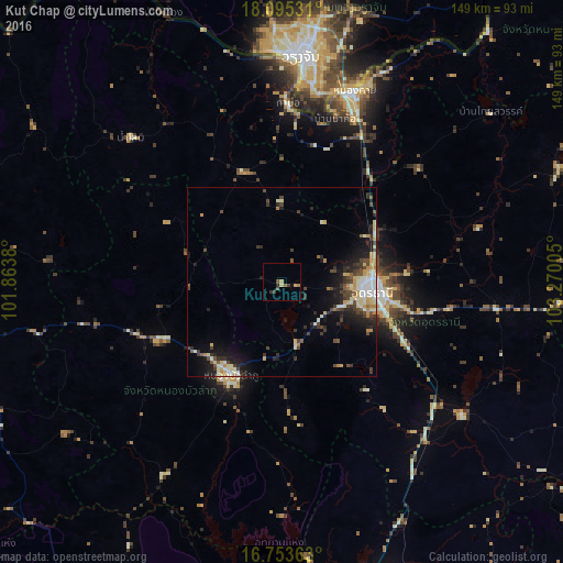
Analysis of Kut Chap night lights 2016
Square area 10x10 km:
 0%
0%90-99
0%80-89
1.03%70-79
1.45%60-69
0.83%50-59
1.45%40-49
1.03%30-39
2.48%20-29
0.83%10-19
0%0-9
90.91%Square area 50x50 km:
0.8%90-99
1.42%80-89
1.56%70-79
0.96%60-69
0.59%50-59
0.69%40-49
1.67%30-39
1.79%20-29
2.23%10-19
4.79%0-9
83.5%Clear (daylight) street map image can be seen on geolist.org.
Map coordinates:
18° 5' 43.1" North, 101° 51' 49.7" East
17° 25' 32.5" North, 102° 34' 0.9" East
16° 45' 13.1" North, 103° 16' 12.2" East
Some cities around Kut Chap sort by population:
• Udon Thani
23.3 km =14.5 mi,  92°
92°
• Nong Khai
53.7 km =33.4 mi,  20°
20°
• Tha Bo
47.2 km =29.3 mi,  1°
1°
• Nong Bua Lamphu
28.1 km =17.5 mi,  208°
208°
• Na Klang
42.2 km =26.2 mi,  251°
251°
• Ban Phan Don
53.3 km =33.1 mi,  126°
126°
• Nam Som
55.4 km =34.4 mi,  313°
313°
• Nong Wua So
29.3 km =18.2 mi,  178°
178°
1609324 (p: 24,696)
Sources (retrieved 2019-11-25):
» Earth at Night: Flat Maps 2012, 2016