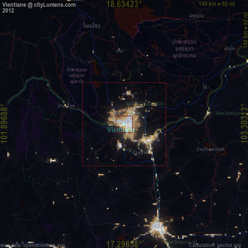
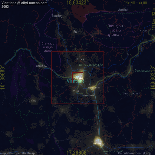
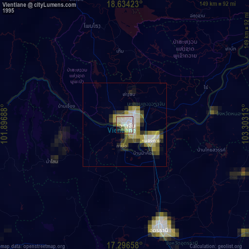
Vientiane night lights from space
Night Light of Vientiane (Vientiane Prefecture) from space (Laos) Src. Average luminocity for 10x10km area is 86.8009% and for 50x50km: 22.8483%.
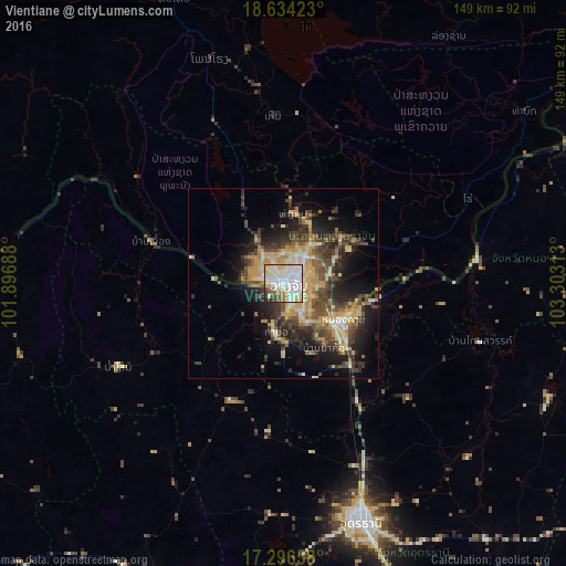
Analysis of Vientiane night lights 2016
Square area 10x10 km:
 32.25%
90-99
30.95%80-89
14.94%70-79
4.33%60-69
4.33%50-59
5.41%40-49
3.68%30-39
1.95%20-29
2.16%10-19
0%0-9
0%Square area 50x50 km:
1.75%90-99
3.45%80-89
3.89%70-79
4.66%60-69
2.59%50-59
2.89%40-49
5.29%30-39
4.8%20-29
6.19%10-19
10.08%0-9
54.42%Clear (daylight) street map image can be seen on geolist.org.
Map coordinates:
18° 38' 3.2" North, 101° 53' 48.8" East
17° 58' 0" North, 102° 36' 0" East
17° 17' 47.7" North, 103° 18' 11.3" East
Some cities around Vientiane sort by population:
• Udon Thani, TH
64.4 km =40 mi,  162°
162°
• Nong Khai, TH
17.9 km =11.1 mi,  123°
123°
• Tha Bo, TH
13.1 km =8.1 mi,  188°
188°
• Kut Chap, TH
60.3 km =37.5 mi,  183°
183°
• Nam Som, TH
48.6 km =30.2 mi,  243°
243°
• Phon Charoen, TH
60.4 km =37.5 mi,  82°
82°
• Si Chiang Mai, TH
1.8 km =1.1 mi,  230°
230°
• Muang Phôn-Hông
61.9 km =38.5 mi,  341°
341°
1651944 (p: 196,731)
Sources (retrieved 2019-11-25):
» NASA, Earths city lights 1995
» NASA city lights 2003
» Earth at Night: Flat Maps 2012, 2016