Taphan Hin night lights from space
Night Light of Taphan Hin (Phichit) from space (Thailand) Src. Average luminocity for 10x10km area is 15.624% and for 50x50km: 6.0532%.
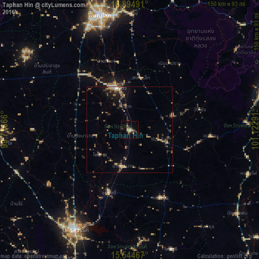
Analysis of Taphan Hin night lights 2016
Square area 10x10 km:
 0%
0%90-99
1.03%80-89
2.48%70-79
3.31%60-69
3.93%50-59
0.62%40-49
4.34%30-39
4.13%20-29
1.24%10-19
2.48%0-9
76.45%Square area 50x50 km:
0.07%90-99
0.3%80-89
0.92%70-79
0.81%60-69
0.99%50-59
0.92%40-49
1.65%30-39
1.81%20-29
1.42%10-19
2.61%0-9
88.51%Clear (daylight) street map image can be seen on geolist.org.
Map coordinates:
16° 53' 41.7" North, 99° 42' 60" East
16° 13' 15.4" North, 100° 25' 11.2" East
15° 32' 40.8" North, 101° 7' 22.5" East
Some cities around Taphan Hin sort by population:
• Phichit
25.7 km =16 mi,  342°
342°
• Khanu Woralaksaburi
62.3 km =38.7 mi,  253°
253°
• Bang Krathum
41.7 km =25.9 mi, 342°
• Chon Daen
47.1 km =29.3 mi,  94°
94°
• Bang Mun Nak
21.9 km =13.6 mi,  191°
191°
• Thap Khlo
20.1 km =12.5 mi,  109°
109°
• Nong Bua
43.4 km =27 mi,  155°
155°
• Wang Sai Phun
22.5 km =14 mi,  34°
34°
1605754 (p: 21,895)
Sources (retrieved 2019-11-25):
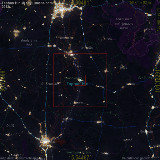
» Earth at Night: Flat Maps 2012, 2016