Mae Sot night lights from space
Night Light of Mae Sot (Tak) from space (Thailand) Src. Average luminocity for 10x10km area is 59.1732% and for 50x50km: 5.3572%.
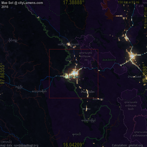
Analysis of Mae Sot night lights 2016
Square area 10x10 km:
 9.52%
9.52%90-99
8.01%80-89
17.75%70-79
12.34%60-69
3.68%50-59
4.76%40-49
10.39%30-39
7.58%20-29
18.18%10-19
7.79%0-9
0%Square area 50x50 km:
0.42%90-99
0.33%80-89
1.42%70-79
0.89%60-69
0.48%50-59
0.46%40-49
0.91%30-39
0.74%20-29
1.7%10-19
4.25%0-9
88.41%Clear (daylight) street map image can be seen on geolist.org.
Map coordinates:
17° 23' 20" North, 97° 51' 48.8" East
16° 43' 0" North, 98° 34' 0" East
16° 2' 31.5" North, 99° 16' 11.3" East
Some cities around Mae Sot sort by population:
• Mawlamyine, MM
103.1 km =64.1 mi,  255°
255°
• Mudon, MM
103.4 km =64.2 mi,  240°
240°
• Hpa-An, MM
101 km =62.8 mi,  280°
280°
• Martaban, MM
103.5 km =64.3 mi, 258°
• Myawadi, MM
6.9 km =4.3 mi, 243°
• Tak
62.2 km =38.6 mi,  74°
74°
• Ban Tak
65.7 km =40.8 mi,  56°
56°
• Mae Ramat
30.2 km =18.8 mi,  349°
349°
1152188 (p: 44,563)
Sources (retrieved 2019-11-25):
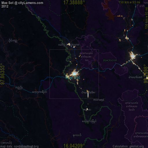
» Earth at Night: Flat Maps 2012, 2016