Krathum Baen night lights from space
Night Light of Krathum Baen (Samut Sakhon) from space (Thailand) Src. Average luminocity for 10x10km area is 78.1136% and for 50x50km: 59.8655%.
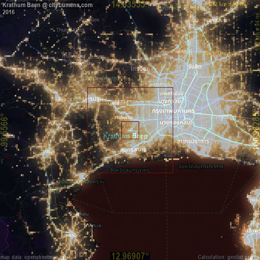
Analysis of Krathum Baen night lights 2016
Square area 10x10 km:
 10.54%
90-99
12.6%80-89
17.15%70-79
32.23%60-69
18.8%50-59
7.85%40-49
0.83%30-39
0%20-29
0%10-19
0%0-9
0%Square area 50x50 km:
14.59%90-99
11.47%80-89
10.52%70-79
9.54%60-69
8.85%50-59
7.12%40-49
7.06%30-39
7.33%20-29
5.75%10-19
8.31%0-9
9.47%Clear (daylight) street map image can be seen on geolist.org.
Map coordinates:
14° 20' 8" North, 99° 33' 23.8" East
13° 39' 11.9" North, 100° 15' 35" East
12° 58' 8.7" North, 100° 57' 46.3" East
Some cities around Krathum Baen sort by population:
• Bangkok
28.4 km =17.6 mi,  66°
66°
• Phra Pradaeng
29.6 km =18.4 mi,  88°
88°
• Nakhon Pathom
29.7 km =18.5 mi,  308°
308°
• Bang Kruai
28.5 km =17.7 mi,  53°
53°
• Samut Sakhon
11.9 km =7.4 mi,  172°
172°
• Ban Phaeo
17.9 km =11.1 mi,  247°
247°
• Sam Phran
9.5 km =5.9 mi,  329°
329°
• Bang Yai
23.9 km =14.9 mi,  27°
27°
1609395 (p: 72,819)
Sources (retrieved 2019-11-25):
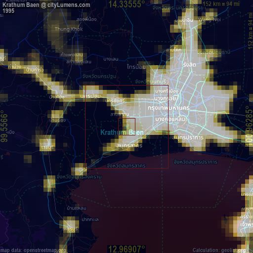
» NASA, Earths city lights 1995
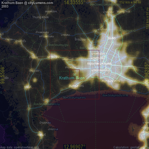
» NASA city lights 2003
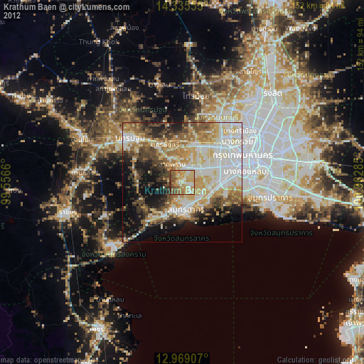
» Earth at Night: Flat Maps 2012, 2016