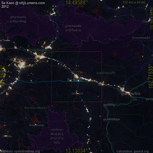
Sa Kaeo night lights from space
Night Light of Sa Kaeo from space (Thailand) Src. Average luminocity for 10x10km area is 20.5723% and for 50x50km: 3.7761%.
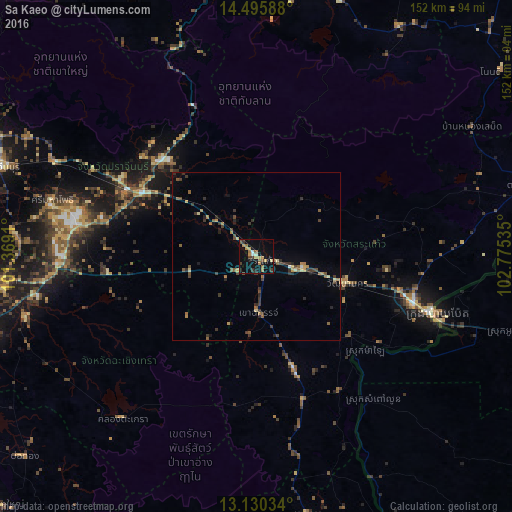
Analysis of Sa Kaeo night lights 2016
Square area 10x10 km:
 1.03%
1.03%90-99
1.45%80-89
2.48%70-79
4.75%60-69
4.34%50-59
2.07%40-49
3.51%30-39
3.31%20-29
2.27%10-19
12.4%0-9
62.4%Square area 50x50 km:
0.06%90-99
0.11%80-89
0.48%70-79
0.5%60-69
0.64%50-59
0.71%40-49
0.85%30-39
1.21%20-29
0.65%10-19
1%0-9
93.8%Clear (daylight) street map image can be seen on geolist.org.
Map coordinates:
14° 29' 45.2" North, 101° 22' 8.8" East
13° 48' 50.8" North, 102° 4' 20" East
13° 7' 49.2" North, 102° 46' 31.3" East
Some cities around Sa Kaeo sort by population:
• Paoy Paet, KH
55.8 km =34.7 mi,  108°
108°
• Prachin Buri
80.3 km =49.9 mi,  289°
289°
• Aranyaprathet
48.3 km =30 mi, 106°
• Kabin Buri
41.2 km =25.6 mi, 291°
• Khon Buri
81.3 km =50.5 mi,  13°
13°
• Wang Nam Yen
36.5 km =22.7 mi,  161°
161°
• Phanom Sarakham
78.5 km =48.8 mi,  264°
264°
• Soeng Sang
79.9 km =49.6 mi,  31°
31°
1606807 (p: 28,497)
Sources (retrieved 2019-11-25):
» Earth at Night: Flat Maps 2012, 2016