Kabin Buri night lights from space
Night Light of Kabin Buri (Prachin Buri) from space (Thailand) Src. Average luminocity for 10x10km area is 31.0806% and for 50x50km: 15.4645%.
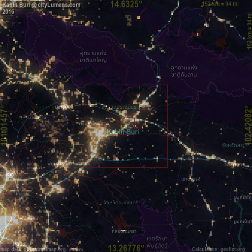
Analysis of Kabin Buri night lights 2016
Square area 10x10 km:
 0.83%
0.83%90-99
1.65%80-89
1.86%70-79
2.27%60-69
8.06%50-59
8.47%40-49
8.47%30-39
10.95%20-29
10.74%10-19
32.64%0-9
14.05%Square area 50x50 km:
0.77%90-99
0.88%80-89
2.14%70-79
2.41%60-69
2.64%50-59
2.8%40-49
3.28%30-39
4.58%20-29
4.41%10-19
12.32%0-9
63.77%Clear (daylight) street map image can be seen on geolist.org.
Map coordinates:
14° 37' 57" North, 101° 0' 52.5" East
13° 57' 4.1" North, 101° 43' 3.7" East
13° 16' 3.9" North, 102° 25' 15" East
Some cities around Kabin Buri sort by population:
• Chachoengsao
75.6 km =47 mi,  247°
247°
• Prachin Buri
39.2 km =24.4 mi,  286°
286°
• Sa Kaeo
41.2 km =25.6 mi,  111°
111°
• Nakhon Nayok
61.3 km =38.1 mi,  297°
297°
• Wang Nam Yen
70.6 km =43.9 mi,  134°
134°
• Phanom Sarakham
45.7 km =28.4 mi,  240°
240°
• Bang Khla
60.7 km =37.7 mi, 245°
• Bang Nam Priao
72.7 km =45.2 mi,  260°
260°
1610538 (p: 20,212)
Sources (retrieved 2019-11-25):
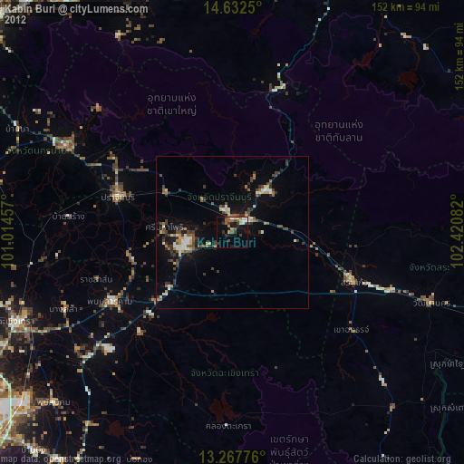
» Earth at Night: Flat Maps 2012, 2016