Aranyaprathet night lights from space
Night Light of Aranyaprathet (Sa Kaeo) from space (Thailand) Src. Average luminocity for 10x10km area is 34.6178% and for 50x50km: 4.2016%.
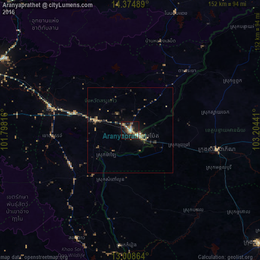
Analysis of Aranyaprathet night lights 2016
Square area 10x10 km:
 4.13%
4.13%90-99
2.69%80-89
3.93%70-79
6.4%60-69
5.79%50-59
5.99%40-49
5.58%30-39
5.79%20-29
8.06%10-19
40.5%0-9
11.16%Square area 50x50 km:
0.18%90-99
0.2%80-89
0.57%70-79
0.52%60-69
0.86%50-59
0.58%40-49
0.78%30-39
0.93%20-29
1.05%10-19
3.41%0-9
90.92%Clear (daylight) street map image can be seen on geolist.org.
Map coordinates:
14° 22' 29.6" North, 101° 47' 53.4" East
13° 41' 33.9" North, 102° 30' 4.6" East
13° 0' 31.1" North, 103° 12' 15.9" East
Some cities around Aranyaprathet sort by population:
• Paoy Paet, KH
7.8 km =4.8 mi,  119°
119°
• Sa Kaeo
48.3 km =30 mi,  286°
286°
• Sisophon, KH
52.4 km =32.6 mi,  103°
103°
• Kabin Buri
89.3 km =55.5 mi, 288°
• Pailin, KH
94.5 km =58.7 mi,  172°
172°
• Wang Nam Yen
40.5 km =25.2 mi,  238°
238°
• Soeng Sang
81.7 km =50.8 mi,  356°
356°
• Pong Nam Ron
91.2 km =56.7 mi,  196°
196°
1621020 (p: 20,236)
Sources (retrieved 2019-11-25):
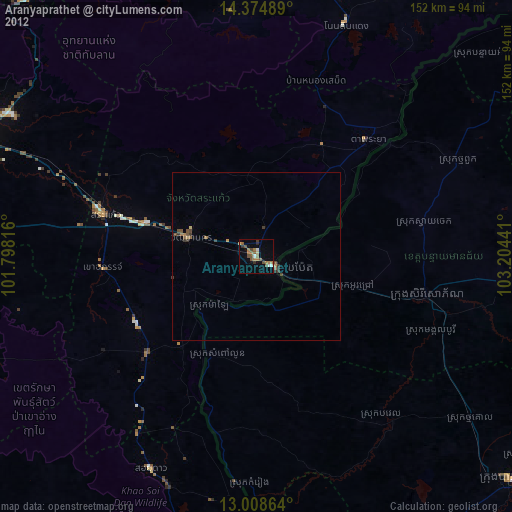
» Earth at Night: Flat Maps 2012, 2016