Prachin Buri night lights from space
Night Light of Prachin Buri from space (Thailand) Src. Average luminocity for 10x10km area is 30.4913% and for 50x50km: 16.1695%.
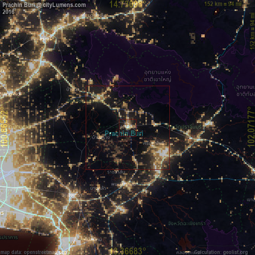
Analysis of Prachin Buri night lights 2016
Square area 10x10 km:
 1.73%
1.73%90-99
2.6%80-89
4.11%70-79
2.81%60-69
4.76%50-59
9.52%40-49
4.76%30-39
5.41%20-29
8.23%10-19
40.04%0-9
16.02%Square area 50x50 km:
0.59%90-99
0.64%80-89
2.14%70-79
2.51%60-69
2.45%50-59
3.05%40-49
3.27%30-39
4.63%20-29
5.22%10-19
14.09%0-9
61.39%Clear (daylight) street map image can be seen on geolist.org.
Map coordinates:
14° 43' 51.5" North, 100° 39' 55.9" East
14° 2' 59.7" North, 101° 22' 7.1" East
13° 22' 0.6" North, 102° 4' 18.4" East
Some cities around Prachin Buri sort by population:
• Ban Lam Luk Ka
64.3 km =40 mi,  262°
262°
• Chachoengsao
51.4 km =31.9 mi,  218°
218°
• Nong Khae
63 km =39.1 mi,  300°
300°
• Nakhon Nayok
24 km =14.9 mi,  315°
315°
• Kabin Buri
39.2 km =24.4 mi,  106°
106°
• Phanom Sarakham
33.6 km =20.9 mi,  183°
183°
• Bang Khla
40.4 km =25.1 mi,  205°
205°
• Bang Nam Priao
40.8 km =25.4 mi,  236°
236°
1607280 (p: 32,600)
Sources (retrieved 2019-11-25):
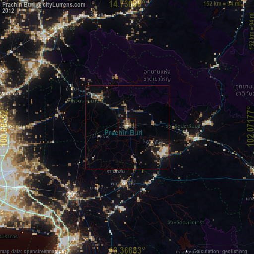
» Earth at Night: Flat Maps 2012, 2016