Chok Chai night lights from space
Night Light of Chok Chai (Nakhon Ratchasima) from space (Thailand) Src. Average luminocity for 10x10km area is 16.4959% and for 50x50km: 10.9428%.
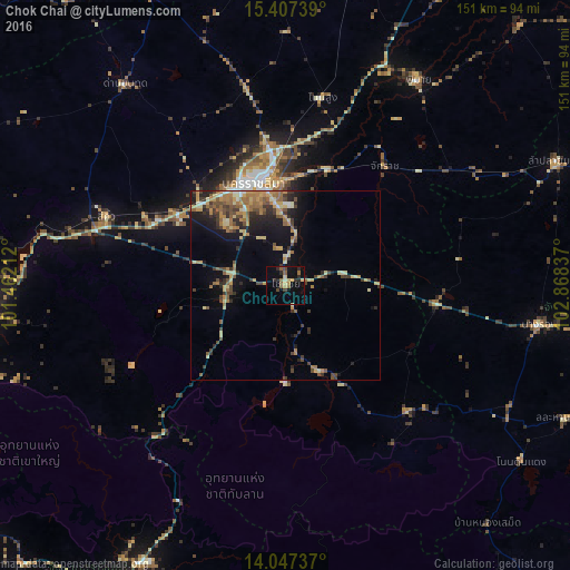
Analysis of Chok Chai night lights 2016
Square area 10x10 km:
 0%
0%90-99
0.41%80-89
3.51%70-79
2.48%60-69
2.27%50-59
3.93%40-49
2.07%30-39
1.24%20-29
6.4%10-19
11.36%0-9
66.32%Square area 50x50 km:
0.36%90-99
0.65%80-89
2.03%70-79
1.84%60-69
2.42%50-59
1.8%40-49
1.93%30-39
2.16%20-29
2.47%10-19
6.03%0-9
78.31%Clear (daylight) street map image can be seen on geolist.org.
Map coordinates:
15° 24' 26.6" North, 101° 27' 43.6" East
14° 43' 42.4" North, 102° 9' 54.9" East
14° 2' 50.5" North, 102° 52' 6.1" East
Some cities around Chok Chai sort by population:
• Nakhon Ratchasima
27.8 km =17.3 mi,  345°
345°
• Amphoe Sikhiu
52.7 km =32.7 mi,  291°
291°
• Khon Buri
24.2 km =15 mi,  158°
158°
• Non Sung
51.2 km =31.8 mi,  11°
11°
• Sung Noen
41.6 km =25.8 mi,  297°
297°
• Soeng Sang
46.2 km =28.7 mi,  136°
136°
• Nong Ki
40.4 km =25.1 mi,  96°
96°
• Non Thai
52.9 km =32.9 mi, 349°
1611135 (p: 23,337)
Sources (retrieved 2019-11-25):
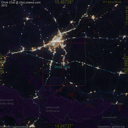
» Earth at Night: Flat Maps 2012, 2016