Nakhon Ratchasima night lights from space
Night Light of Nakhon Ratchasima from space (Thailand) Src. Average luminocity for 10x10km area is 81.8884% and for 50x50km: 18.3564%.
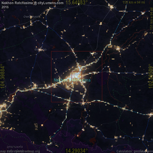
Analysis of Nakhon Ratchasima night lights 2016
Square area 10x10 km:
 20.87%
90-99
22.11%80-89
9.09%70-79
16.12%60-69
25.62%50-59
5.17%40-49
1.03%30-39
0%20-29
0%10-19
0%0-9
0%Square area 50x50 km:
1.45%90-99
2.08%80-89
2.7%70-79
2.81%60-69
3.89%50-59
2.71%40-49
2.89%30-39
3.08%20-29
4.37%10-19
11.62%0-9
62.43%Clear (daylight) street map image can be seen on geolist.org.
Map coordinates:
15° 38' 55.8" North, 101° 23' 55.8" East
14° 58' 14.4" North, 102° 6' 7.1" East
14° 17' 25.2" North, 102° 48' 18.3" East
Some cities around Nakhon Ratchasima sort by population:
• Amphoe Sikhiu
43 km =26.7 mi,  259°
259°
• Chok Chai
27.8 km =17.3 mi,  165°
165°
• Non Sung
28.6 km =17.8 mi,  35°
35°
• Dan Khun Thot
44.3 km =27.5 mi,  306°
306°
• Sung Noen
31.2 km =19.4 mi, 255°
• Phimai
50.7 km =31.5 mi,  56°
56°
• Non Thai
25.2 km =15.7 mi,  352°
352°
• Kham Sakae Saeng
40.9 km =25.4 mi,  10°
10°
1608529 (p: 208,781)
Sources (retrieved 2019-11-25):
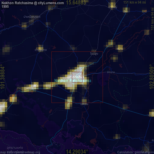
» NASA, Earths city lights 1995
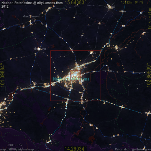
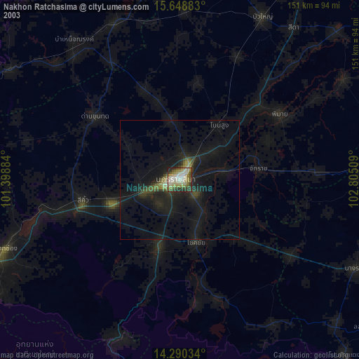
» NASA city lights 2003
» Earth at Night: Flat Maps 2012, 2016